Attribute Value Dependent Label Sizes in QGIS?
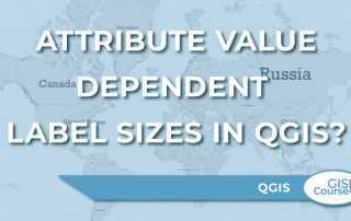
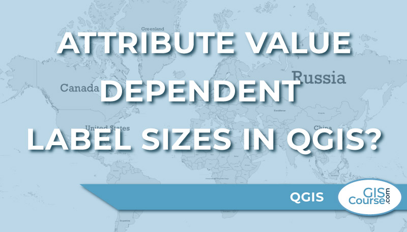
In this post, we’ll look at how to make the label sizes dependent on a field in the attribute table of the layer. […]
In this post, we’ll look at how to make the label sizes dependent on a field in the attribute table of the layer. […]
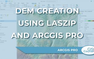
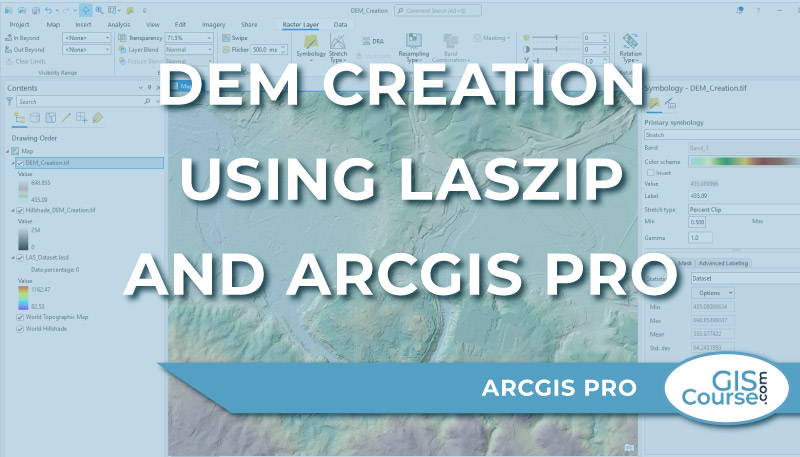
In ArcGIS Pro you cannot open or add LAZ (.laz) files directly and display the point cloud data on the map. The LAZ (.laz) files need to be decompressed and converted to LAS (.las) files. One easy way to do that is to use the LASzip, a free open source product of rapidlasso GmbH. The [...]
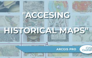
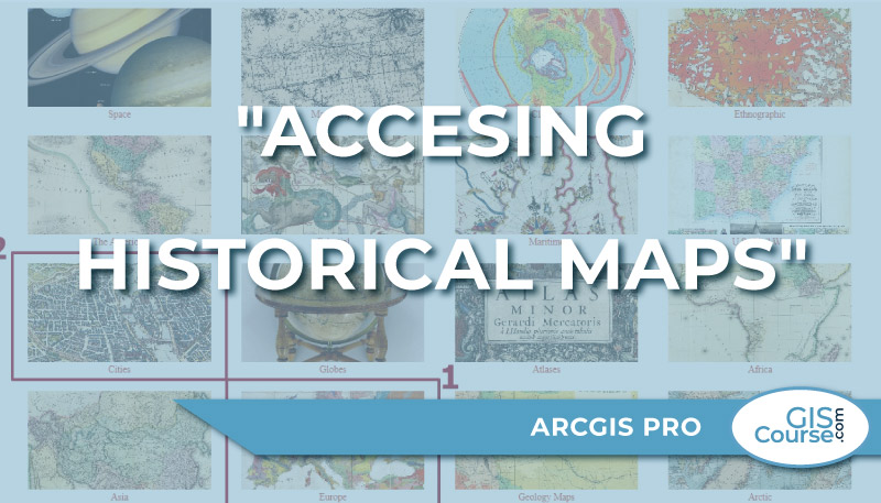
The David Rumsey Map Collection is incredibly complex, with a wide range of historical maps. […]
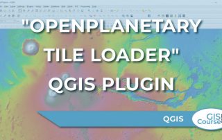
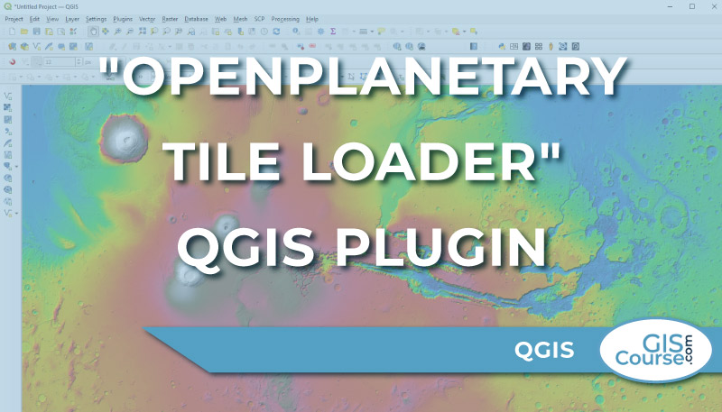
The analysis of planetary and stellar cartography is the next geospatial frontier, and Roberto Jimenez’s QGIS plugin “OpenPlanetary Tile Loader” is a significant step in this direction. […]
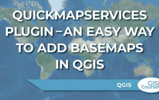
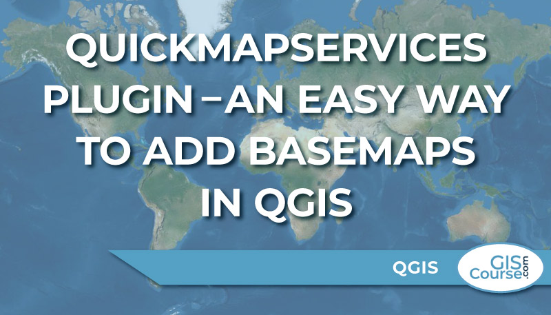
One of the most interesting QGIS Plugin is the QuickMapServices. […]
Cartography is a critical component of any GIS. […]
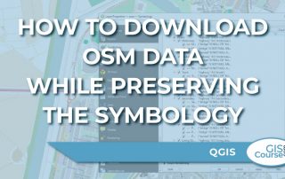
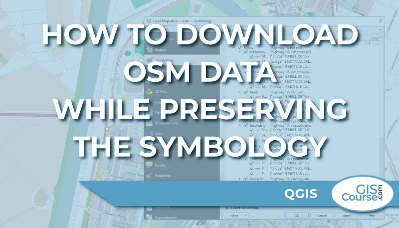
There are several ways to directly download OSM data, including direct download from OSM (www.openstreetmap.org) or via QGIS Plugins such as QuickOSM. […]
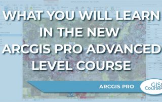
TYC GIS’s new ArcGIS Pro Advanced Level Course will train students in the advanced use of ArcGIS Pro […]
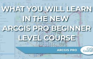
TYC GIS’s new ArcGIS Pro Beginner Level Course will introduce you to ArcGIS Pro, ESRI’s most recent Desktop GIS application. […]
It is clear that GeoAI is here to stay. […]