“OpenPlanetary Tile Loader” QGIS plugin
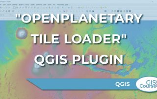
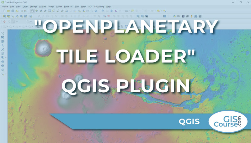
The analysis of planetary and stellar cartography is the next geospatial frontier, and Roberto Jimenez’s QGIS plugin “OpenPlanetary Tile Loader” is a significant step in this direction. […]
The analysis of planetary and stellar cartography is the next geospatial frontier, and Roberto Jimenez’s QGIS plugin “OpenPlanetary Tile Loader” is a significant step in this direction. […]
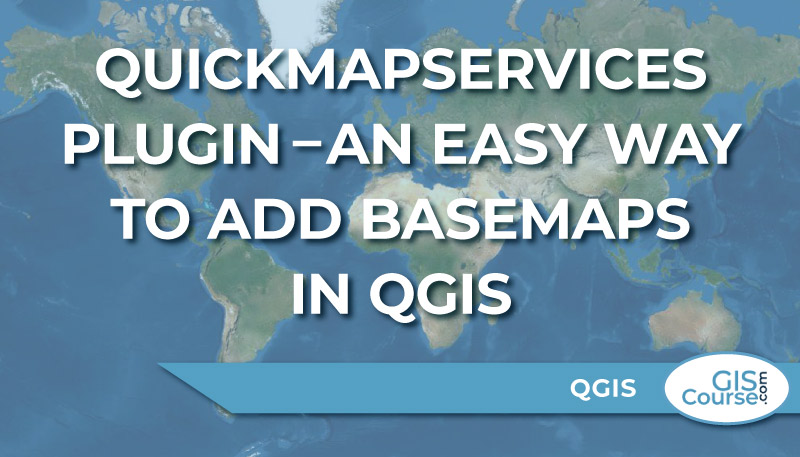
One of the most interesting QGIS Plugin is the QuickMapServices. […]
Cartography is a critical component of any GIS. […]
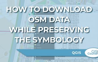
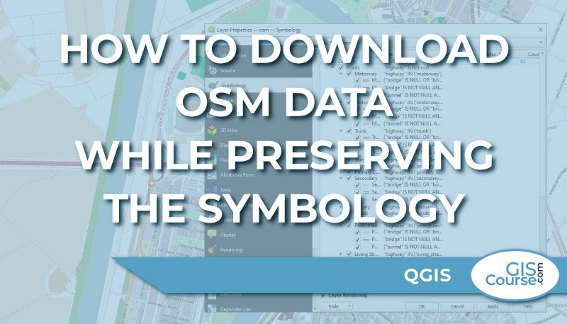
There are several ways to directly download OSM data, including direct download from OSM (www.openstreetmap.org) or via QGIS Plugins such as QuickOSM. […]
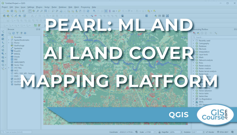
It is clear that GeoAI is here to stay. […]
In case of a multi-temporal data analysis, the co-registration process is a mandatory step. […]
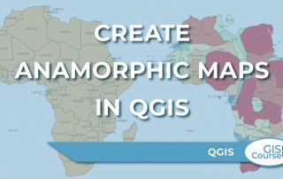
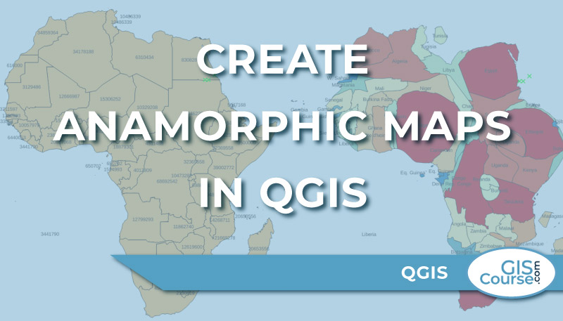
What is a cartogram or anamorphic map? […]
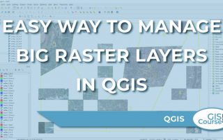
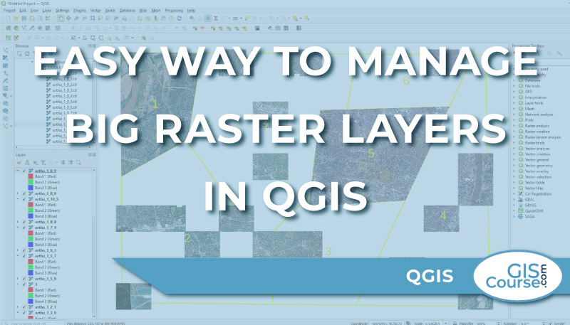
When working with big raster files, it is important to know what kind of tools may ease your work. […]
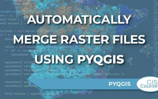
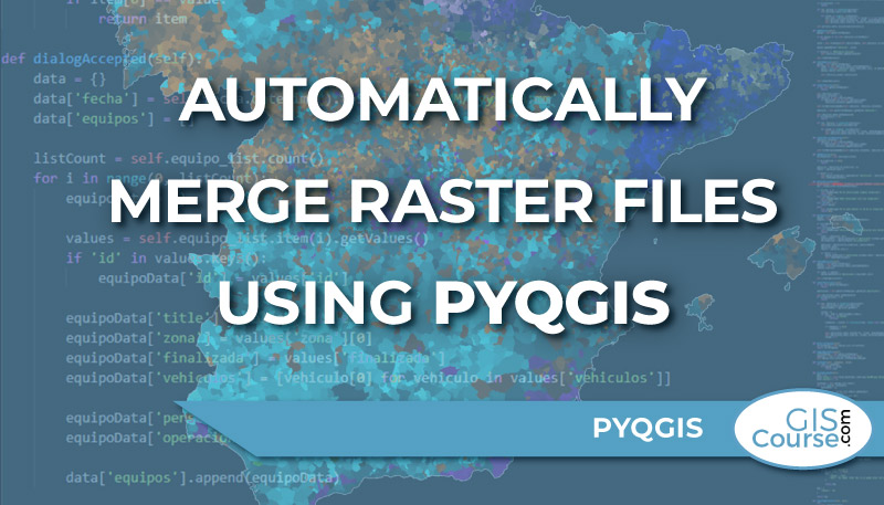
In this post we are going to learn how to merge massive amounts of raster files automatically using PyQGIS. […]
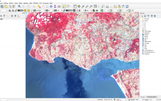
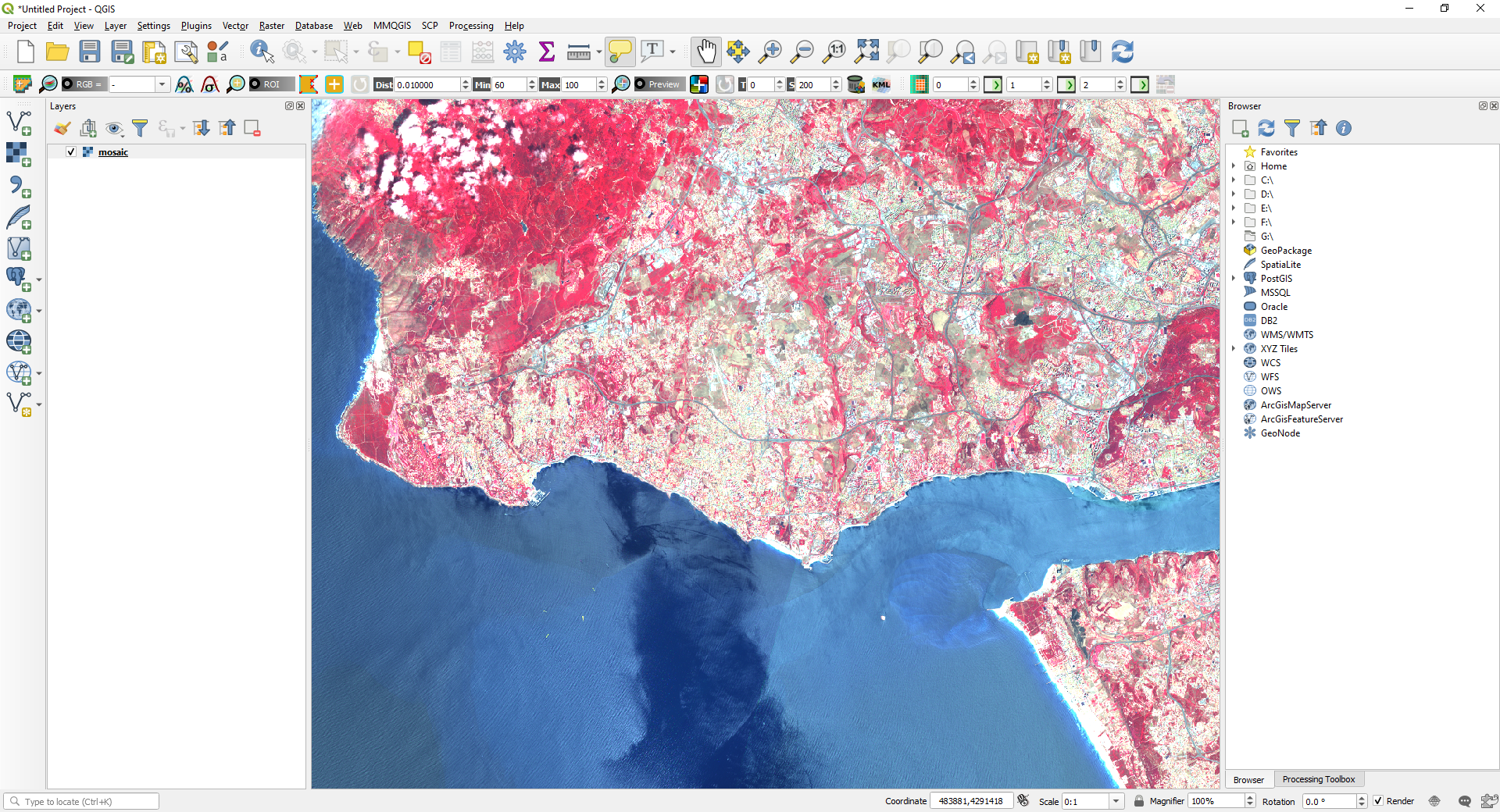
In this tutorial we will learn how to download, pre-process and manage satellite imagery. All this using the open source software QGIS and the Semi-Automatic Classification Plugin (SCP). […]

