QGIS COURSE, BEGINNER LEVEL
ONLINE TRAINING
START DATE: 8TH OF MAY | 26TH OF JUNE (80 hours)
PRICE: 240 € (Standard fee) | 216 € (Student / Unemployed fee)
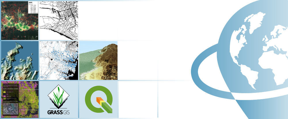
The goal of this course is to get students started with QGIS, a free and open source desktop geographic information system software with a complex working environment that allows users to analyze and edit spatial data. QGIS supports multiple data types (vector and raster formats), web services, and a variety of useful geoprocessing commands and utilities due to its integration with the GDAL and OGR libraries. QGIS also integrates with other open-source GIS packages, such as GRASS GIS (Geographic Resources Analysis Support System), allowing it to process and analyze digital satellite images and much more.
The course is divided into units of varying difficulty to help students learn the fundamental concepts of a Geographical Information System, as well as how to work with vectorial, alphanumeric, and raster data, use geo-processing tools, and create maps.
Students who register for this online course will have access to our virtual e-learning platform (which is available 24 hours). Here, they will find the course content, the practical and evaluation exercises, the forum discussion, and much more. One of the benefits of this course is that students can receive real-time support and assistance from the instructor whenever needed. The support for course-related issues is provided via direct messages and forum discussions on the platform, as well as via email or online meetings.
- Emphasize the significance and utility of a Geographic Information System (GIS), as well as its integration and applicability in a wide range of professional sectors.
- A general overview of the fundamental skills required for QGIS and GRASS GIS handling, as well as the key concepts employed by a GIS system.
- Learn how to use GIS key tools in a professional and appropriate manner, as well as how to use vector and raster data information to develop complex spatial analyses.
- Discover all of the potential problems that may arise during the execution of GIS projects, as well as their solutions, through hands-on exercises.
- Gain experience in data preparation, layout development, map creation, and the delivery of various mapping products.
1 - INTRODUCTION TO QGIS
- About QGIS
- Characteristics of QGIS
- Start using QGIS
2 - QGIS TOOLS
- QGIS Configuration
- General tools
- Working with projections
- QGIS Browser
3 - VECTOR DATA MANAGEMENT AND TABLES
- Introduction
- Vector and alphanumeric data visualization
- Editing data
- Working with Vector Data
- Working with tables
Practical exercise 1: Working with vector data and tables, operations with vector and alphanumeric data.
4 - WORKING WITH RASTER DATA
- Introduction
- Display raster data
- Raster calculator
- Working with images
Practical exercises 2: Working with raster data and operations with images.
5 - QGIS PLUGINS
- Additional modules of QGIS or “plugins”
- Description of Plugins incorporated in QGIS
- Operations through “plugins”
Practical exercises 3: Different QGIS “plugins” and their applications: GDAL library tool, georeferencing, coordinate capture, format converter.
6 - INTEGRATION WITH GRASS GIS
- GRASS plugin
- Loading raster and vector data
- GRASS tools
- Create and edit vector layers
- Work with raster data
Practical exercises 4: Handling GRASS tools: Location, Mapset, etc.
7 - CREATE MAPS AND RELATED PRODUCTS
- Creation tools
- Graphic elements
- Atlases generation
- Graphic output creations
Practical exercises 5: Map creation with QGIS.

Catalin Cimpianu
With a Phd in Remote Sensing and GIS applied in hydrology and flood management, an MSc in Geomatics, and a BSc in Spatial Planning from Iasi, Romania’s “Alexandru Ioan Cuza” University, Catalin is a GIS consultancy professional and trainer at TYC GIS Soluciones Integrales.
He has over 6 years of experience with various geospatial software products (ArcGIS Desktop, QGIS), data collection, spatial analysis, geographical information manipulation, map creation, environmental consultancy, and other related subjects.
Why should we learn to use QGIS?
Geographic Information Systems (GIS) are rapidly spreading and becoming an indispensable tool in a wide range of professions, including engineering, environment, geography, geology and mining, emerging sciences, and geomarketing. QGIS is the best open source GIS software product because of its large online support community, which always favors up-to-date status, continuous development of new capabilities, easy integration with other open source packages, and improved performance with each release.
Do I need previous QGIS training?
No, the course starts from the very beginning. You do not need any prior QGIS knowledge.
I do not have the software QGIS, what are my options?
QGIS is open source software that is free to use and can be downloaded from the official website (http://www.qgis.org/en/site/). It is extremely simple to obtain and install on your computer. However, we have included a help manual in each course that will come in handy if you want to download and install QGIS on your local machine.
Moodle, the world’s most popular learning platform, is used to deliver our online courses. It is a highly adaptable Learning Management System that can be used to conduct and access courses, complete practical exercise tasks, interact with teaching staff in person, or benefit from support and resources at any time.
The online platform is available 24 hours a day, and the student can request assistance at any time. The instructors will serve as supervisors throughout the training process, assisting students with any difficulties they may encounter along the way.
The course is divided into modules, making it simple for students to find training material, download information, complete practical exercises, and take assessments to validate their newly acquired skills. The instructors will assist students throughout the course, providing progressive help and information based on their progress.
240 € (Standard fee) / 216 € (Student / Unemployed fee)*
*To receive this discount, you must include a copy of a document proving your situation (student or unemployed).
** If you want to know the price in other currencies, use the online converter below: The Money Converter

First step. Fill out the registration form found below and email it to training@tycgis.com.

The second step. We will send you an enrollment guide with all of the information you need to finish the registration process. The enrollment guide will include details about the course’s content and structure, the time period it will run, and the software and licenses required. Payment methods will also be specified.

Step three. Complete the payment and email the receipt to training@tycgis.com.

Step four. We will confirm your registration to the course via email once we confirm the payment.


SPANISH INTERBANK TRANSFER:
ACCOUNT NUMBER: 0049 1809 222710347481 (Banco Santander)
BENEFICIARY: TYC GIS Soluciones Integrales SL
SUBJECT: “Student Name” and QGIS BEGINNER COURSE ON
INTERNATIONAL BANK TRANSFER:
BANK NAME: Banco Santander
BANK ADDRESS: Glorieta Ruiz Jiménez 1, 28015 Madrid (España).
BENEFICIARY: TYC GIS Soluciones Integrales SL
BENEFICIARY ADDRESS: Calle Fuencarral 158, Entreplanta, Oficina 16-17 28010 Madrid (España).
ACCOUNT NUMBER: ES90 0049 1809 222710347481
SWIFHT: BSCHESMM – IBAN: ES90
If you have difficulties in making the payment, contact training@tycgis.com

 (53 votes, average: 4.38 de 5)