ARCGIS PRO COURSE, ADVANCED LEVEL
ONLINE TRAINING
START DATE: 8TH OF MAY | 10TH OF JULY (80 hours)
PRICE: 240€ (Standard fee) | 216€ (Student / Unemployed fee)
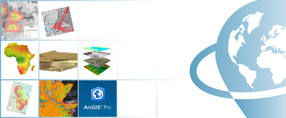
This course will qualify students in the advanced functionalities of ArcGIS PRO. The training material will be focused on: vector and raster data models, geodatabase management, 2D and 3D data visualization, topology creation and network analysis.
Students who register for this online course will have access to our virtual e-learning platform (which is available 24 hours). Here, they will find the course content, the practical and evaluation exercises, the forum discussion, and much more. One of the benefits of this course is that students can receive real-time support and assistance from the instructor whenever needed. The support for course-related issues is provided via direct messages and forum discussions on the platform, as well as via email or online meetings.
- Emphasize the significance and utility of Geographic Information Systems (GIS), particularly in the development of complex spatial analyses with applications in engineering design, topography, geology, and hydrology.
- Learn about ModelBuilder, which can be used to create complex tools, connect them, and automate workflows.
- Learn about the benefits of a geodatabase, such as: the possibility of topological correction of vector layers, network analysis (capabilities of finding optimal routes, accessibility studies, and so on).
- Develop your skills and gain experience in data preparation, layout development, map creation, and much more.
1 - INTRODUCTION TO RASTER DATA MODELS
- Introduction.
- Definition and basic concepts.
- Purposes and uses.
2 - BASIC OPERATIONS WITH RASTER DATA MODELS
- File conversion:
– Converting files from vector to raster, and vice versa
– Converting ASCII or html files to raster
– Converting vector files to TIN
– Converting TIN to Raster formats
– Exporting files to KML (Google Earth) and CAD
– Creating Digital Elevation Models from vector data, ASCII and TIN files. - Extracting information from raster files
– By query
– By mask or entity
– Joining raster files.
Practical exercise: (convert files, create digital elevation models) and assessment.
3 - 2D AND 3D SPATIAL ANALYSIS
- Raster files reclassification. Building Boolean layers, adding values to intervals or categories, and data conversion.
- Grouping several raster layers. Algebra map, math calculations between raster layers, field statistics.
- Data interpolation. Exploring different interpolation tools (IDW, Kriging, Natural neighbor).
- Euclidean distances.
- Surface: contour, slope calculation, hillshade, orientation and visibility.
- Use in hydrology: obtaining a drainage system, flow direction, outlets, and identification of drainage basins or sub-basins.
- Volume calculation.
- Raster multi-criteria analysis: Basic concept and weighting.
- Least-cost routes.
Practical exercise: Interpolation of radiation data, volume calculations, complex multi-criteria analysis and least-cost route calculation.
4 - 3D DATA DISPLAY
- Converting vector files from 2D to 3D.
- Vector and raster layers display in 3D.
- Virtual flights.
Practical exercise: Visibility of fire protection towers, volume of soil extracted from a quarry and 3D representation.
5 - MODEL BUILDER
- Use.
- Linking geoprocessing models using ModelBuilder.
- Creating custom tools using ArcToolBox.
Practical exercise: (creating geoprocessing models with ModelBuilder) and assessment.
6 - GEOSPATIAL DATABASE. GEODATABASE.
- Geodatabase: advantages. Properties.
- Loading data to the geodatabase.
- Domains and subtypes.
Practical exercise: (creating a geodatabase and its management) and assessment.
7 - TOPOLOGY
Massive correction of geospatial data errors.
- Topology considerations.
- Cluster tolerance.
- Most common rules in topology.
- Validating a topology.
- Topology errors.
- Management of errors.
Practical exercise: (error management and massive correction) and assessment.
8 - NETWORK ANALYST
- Definition
- Network categories
– Geometric networks
– Transportation networks - Network components
– Nodes
– Axis
– Flow - Creating network datasets
– Operators
– Optimal route
– Service areas
– Closest facility - Origin destination (OD) cost matrix.
Practical exercise: (creating a network dataset, route calculation, buffer areas) and assessment.

Catalin Cimpianu
With a Phd in Remote Sensing and GIS applied in hydrology and flood management, an MSc in Geomatics, and a BSc in Spatial Planning from Iasi, Romania’s “Alexandru Ioan Cuza” University, Catalin is a GIS consultancy professional and trainer at TYC GIS Soluciones Integrales.
He has over 6 years of experience with various geospatial software products (ArcGIS Desktop, QGIS), data collection, spatial analysis, geographical information manipulation, map creation, environmental consultancy, and other related subjects.
Why study ArcGIS Pro?
Geographic Information Systems (GIS) are becoming an indispensable tool in a wide range of business sectors, including engineering, environment, geography, mining, and geomarketing.
Among GIS tools, ArcGIS is one of the most widely used, the most stable and versatile, comprised of a set of integrated applications, with solid documentation covering a wide range of tools and supported by a large community.
ArcGIS provides contextual tools for data visualization, mapping, and spatial analysis, connecting and combining information from various sources (local and online), and providing complex capabilities to explore, gain, and enquire knowledge to make the best decisions. It can also be handled through a user interface as well as through the command line using specific programming languages such as Python.
Do I need previous knowledge in ArcGIS Pro?
Yes, knowledge similar to that taught in the ArcGIS Pro – Beginner Level Course is required.
I don’t have the ArcGIS Pro program. What can I do?
ArcGIS PRO software comes with a 21-day free trial license. All you have to do is create an account, download the program, and follow the installation instructions (found on the website). We will, however, assist you if you encounter any difficulties.
Moodle, the world’s most popular learning platform, is used to deliver our online courses. It is a highly adaptable Learning Management System that can be used to conduct and access courses, complete practical exercise tasks, interact with teaching staff in person, or benefit from support and resources at any time.
The online platform is available 24 hours a day, and the student can request assistance at any time. The instructors will serve as supervisors throughout the training process, assisting students with any difficulties they may encounter along the way.
The course is divided into modules, making it simple for students to find training material, download information, complete practical exercises, and take assessments to validate their newly acquired skills. The instructors will assist students throughout the course, providing progressive help and information based on their progress.
240€ (Standard fee) | 216€ (Student / Unemployed fee)
*To receive this discount, you must include a copy of a document proving your situation (student or unemployed).
** If you want to know the price in other currencies, use the online converter below: The Money Converter

First step. Fill out the registration form found below and email it to training@tycgis.com.

The second step. We will send you an enrollment guide with all of the information you need to finish the registration process. The enrollment guide will include details about the course’s content and structure, the time period it will run, and the software and licenses required. Payment methods will also be specified.

Step three. Complete the payment and email the receipt to training@tycgis.com.

Step four. We will confirm your registration to the course via email once we confirm the payment.


SPANISH INTERBANK TRANSFER:
ACCOUNT NUMBER: 0049 1809 222710347481 (Banco Santander)
BENEFICIARY: TYC GIS Soluciones Integrales SL
SUBJECT: “Student Name” and ARCGIS PRO ADVANCED LEVEL COURSE
INTERNATIONAL BANK TRANSFER:
BANK NAME: Banco Santander
BANK ADDRESS: Glorieta Ruiz Jiménez 1, 28015 Madrid (España).
BENEFICIARY: TYC GIS Soluciones Integrales SL
BENEFICIARY ADDRESS: Calle Fuencarral 158, Entreplanta, Oficina 16-17 28010 Madrid (España).
ACCOUNT NUMBER: ES90 0049 1809 222710347481
SWIFHT: BSCHESMM – IBAN: ES90
If you have difficulties in making the payment, contact training@tycgis.com

 (14 votes, average: 4.64 de 5)