In case of a multi-temporal data analysis, the co-registration process is a mandatory step. When dealing with satellite imagery acquired by different sensors and having different spatial resolutions, the co-registration process can help you align the images and thus improve the spatial accuracy of your results.
With the QGIS Coregistration plugin you can ensure the spatial alignment of all your data in a easy and faster way.
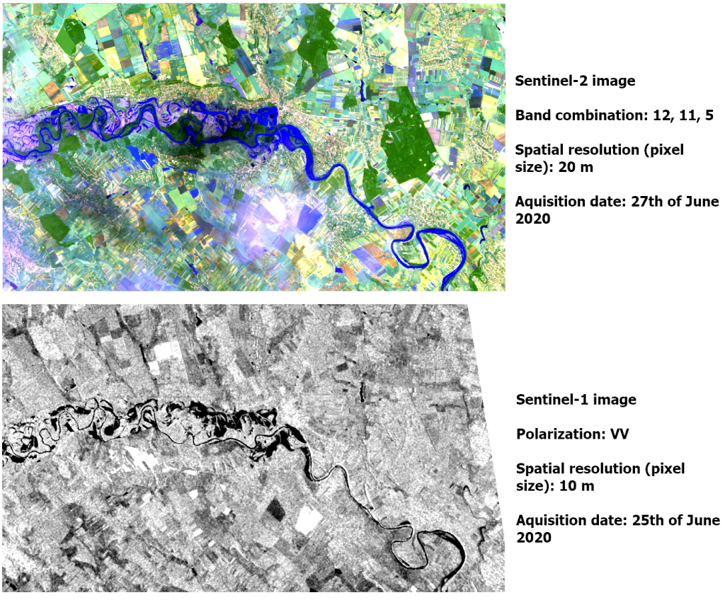
In the example below we have two satellite images (Sentinel-1 and Sentinel-2) which depict a flood event in two different days. The images are acquired by two different sensors and also have different spatial resolution (pixel size).
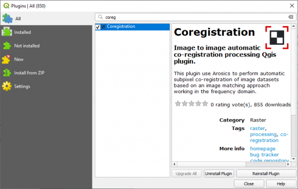
STEP 1: Open QGIS and install the Coregistration plugin.
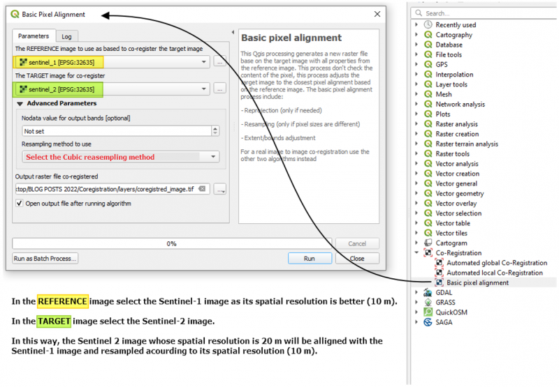
Step 2: Go to the Processing Plugin, and from the Coregistration Drop down menu, select the Basic Pixel alignment.
This Qgis algorithm generates a new raster file base on the target image with all properties from the reference image. This process don’t check the content of the pixel, this process adjusts the target image to the closest pixel alignment based on the reference image. The basic pixel alignment process include:
– Reprojection (only if needed)
– Resampling (only if pixel sizes are different)
– Extent/bounds adjustment
Click Ok.
The Sentinel-2 image is now pixel aligned with the Sentinel-1 image.
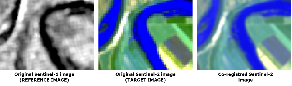
The Sentinel-2 image was resampled according to Sentinel-1 spatial resolution and adjusted to the same size/extend.
Source: Coregistration plugin – author: Xavier Corredor Llano, SMByC, https://plugins.qgis.org/plugins/Coregistration/.


 (6 votes, average: 3.83 de 5)
![]() Loading...
Loading...
High quality and professional training
Recommended courses


Leave A Comment