“OpenPlanetary Tile Loader” QGIS plugin
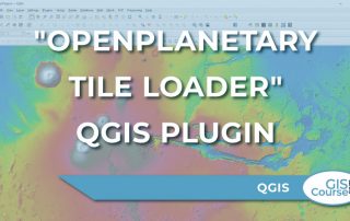
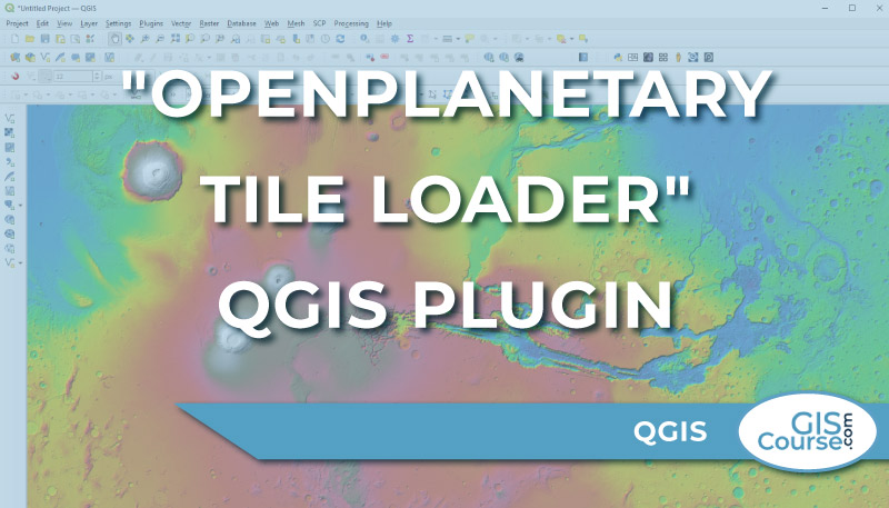
The analysis of planetary and stellar cartography is the next geospatial frontier, and Roberto Jimenez’s QGIS plugin “OpenPlanetary Tile Loader” is a significant step in this direction. […]
The analysis of planetary and stellar cartography is the next geospatial frontier, and Roberto Jimenez’s QGIS plugin “OpenPlanetary Tile Loader” is a significant step in this direction. […]
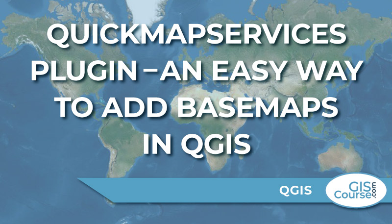
One of the most interesting QGIS Plugin is the QuickMapServices. […]
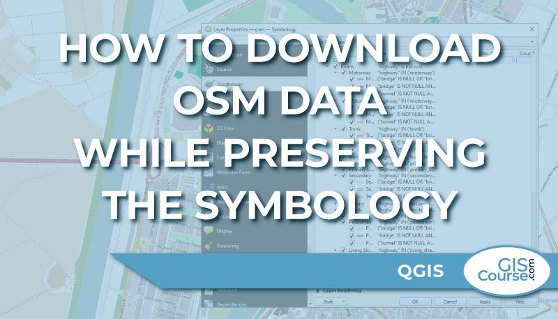
There are several ways to directly download OSM data, including direct download from OSM (www.openstreetmap.org) or via QGIS Plugins such as QuickOSM. […]
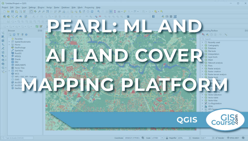
It is clear that GeoAI is here to stay. […]
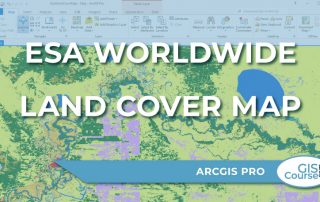
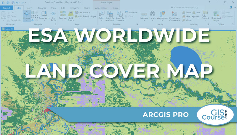
ESA released in October 2021 a freely accessible global land cover product at 10 m resolution for the year 2020. […]
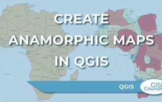
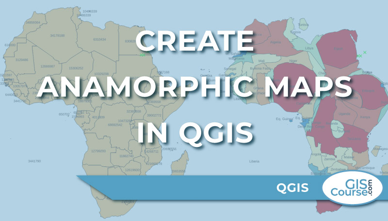
What is a cartogram or anamorphic map? […]
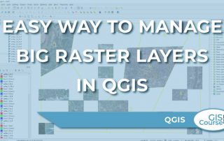
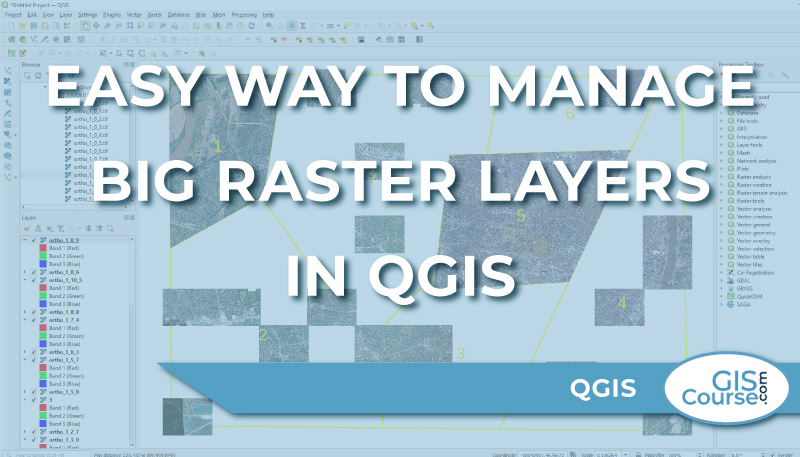
When working with big raster files, it is important to know what kind of tools may ease your work. […]
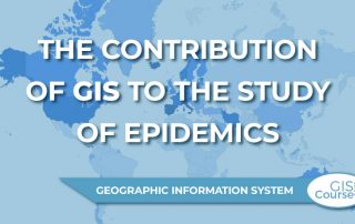
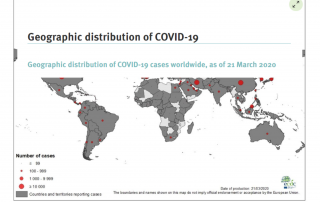
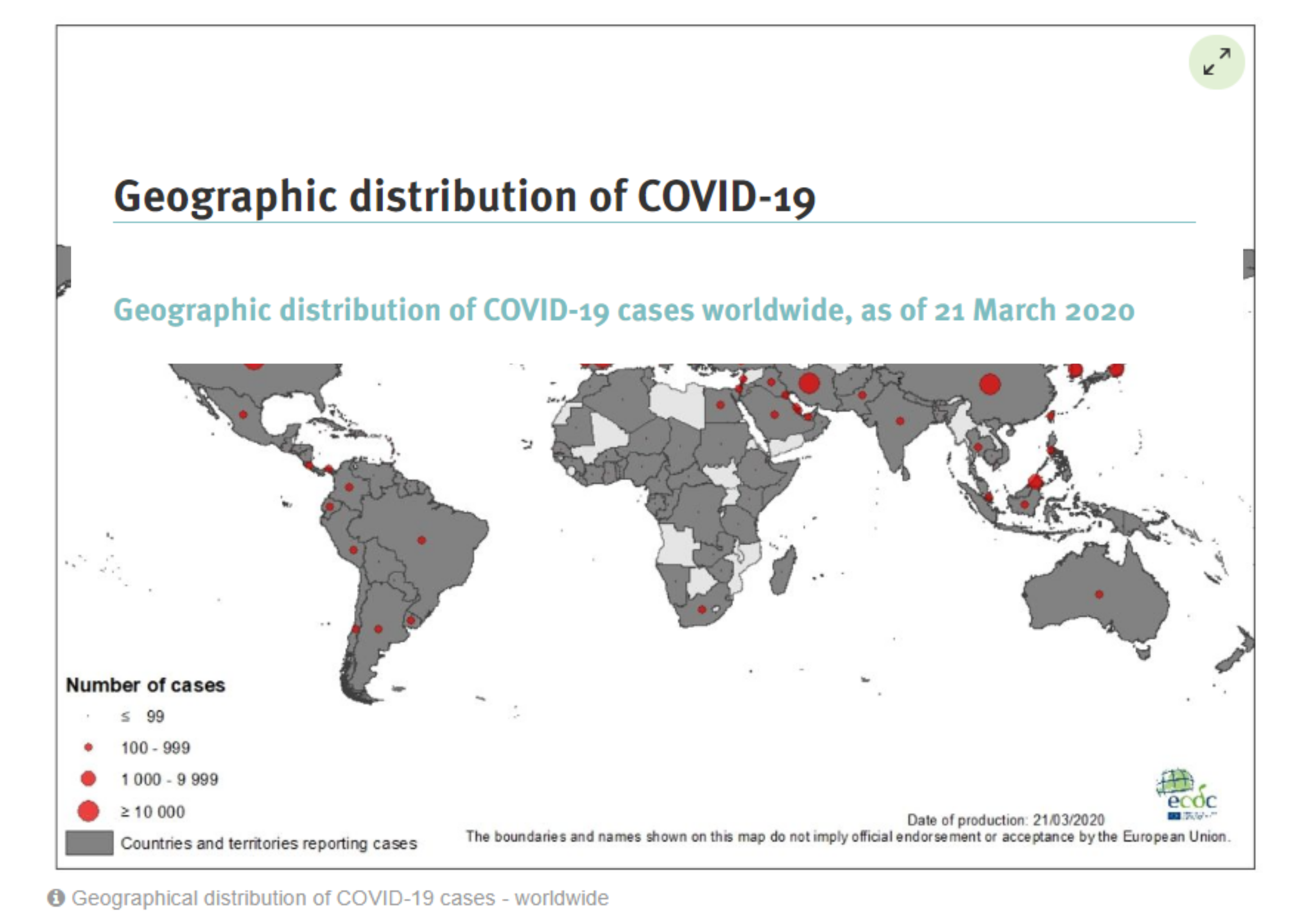
COVID-19 or corona virus is having a tremendous impact on the everyday lives of lots of people around the world. With entire countries in lockdown and others with severe restrictions on free movement the impact the pandemic is having on the economy is worth of mention too. […]
Digital maps serve as effective tools when it comes to managing emergency situations like epidemics. […]
Sometimes when you find yourself in need for some spatial data like, roads, buildings, waterways, etc. you can check the OpenStreetMap Database. […]