ESA released in October 2021 a freely accessible global land cover product at 10 m resolution for the year 2020. This land cover map is based on Sentinel-1 and Sentinel-2 satellite imagery.
To access this map you need to https://esa-worldcover.org/en.
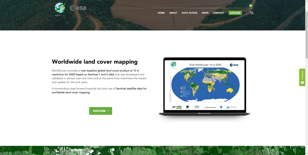
Click on the EXPLORE button. The WorldCover Viewer will open.
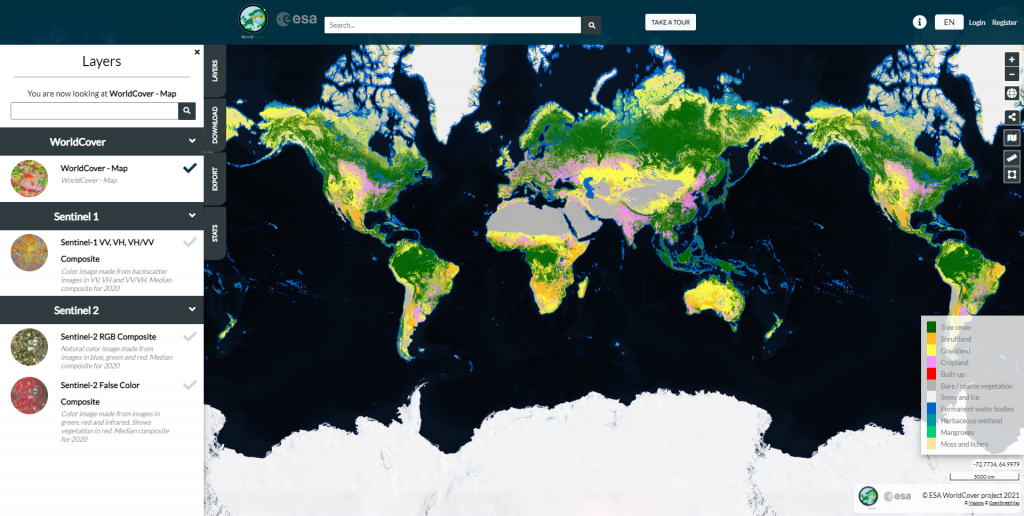
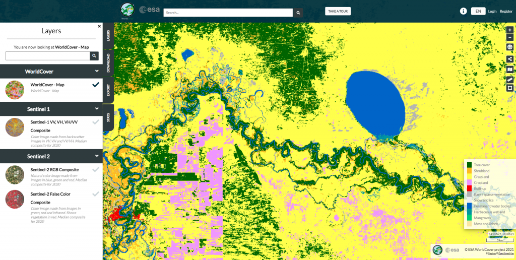
On the left, under the layers panel you can see the viewer available datasets. Click on them to activate and deactivate them. Zoom in to an area of interest.
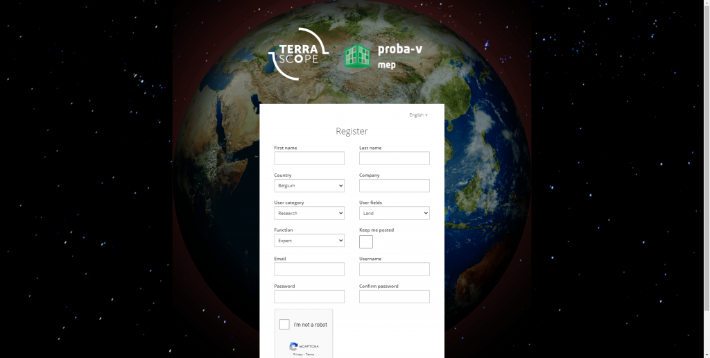
In order to be able to download the products available, go to the DOWNLOAD button. This requires to log in. If you do not have an account yet, go to Register and create one.
Once logged in, the download can be done. Select the tile product of interest (or multiple products).
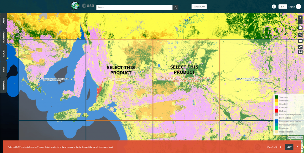
Click Next in the right lower corner. A new window will open.
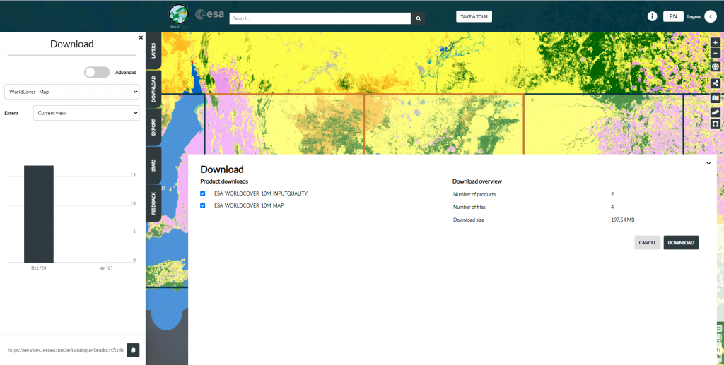
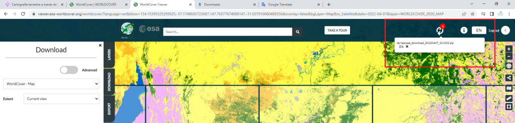
Click Download. The download will take a while.
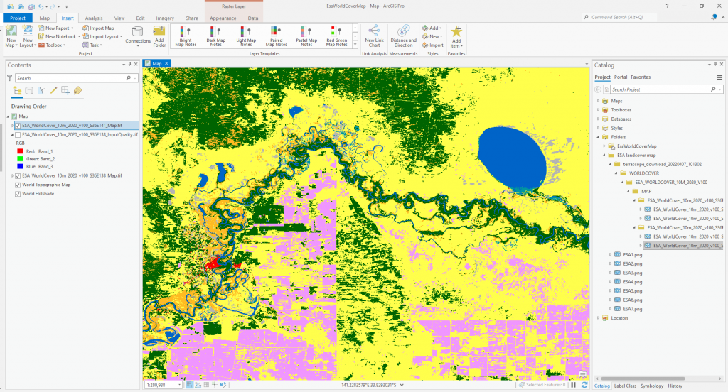
After the download is complete, you can use the newly downloaded files in your projects. You can open the files in any GIS software, like for example ArcGIS Pro.
Source: ESA – Worldwide land cover mapping – https://esa-worldcover.org/en

 (6 votes, average: 4.33 de 5)
![]() Loading...
Loading...
High quality and professional training
Recommended courses


Leave A Comment