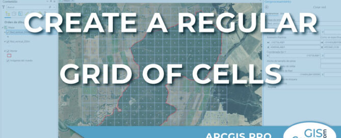
Creating a regular grid of cells in ArcGIS Pro
Sometimes, we need to generate a grid or network of rectangular cells to place certain elements at specific distances from each other. […]
Sometimes, we need to generate a grid or network of rectangular cells to place certain elements at specific distances from each other. […]
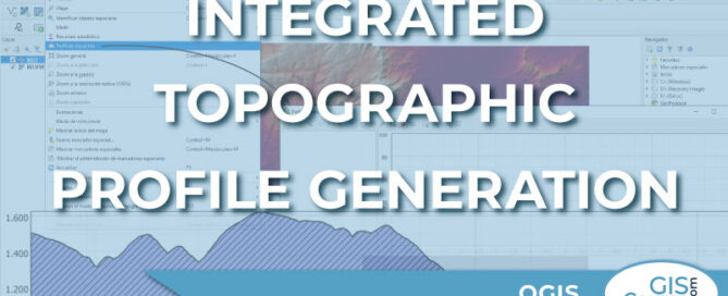
There is a wide variety of tools available for the topographic profile generation in QGIS. […]
A very interesting plugin when working with QGIS is the possibility to run autosave […]
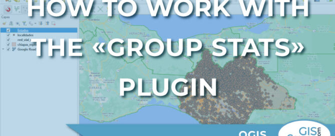
This QGIS add-on is used to work with statistical data, generating reports by groups or categories for an attribute table field. […]
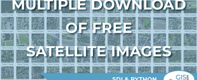
Nowadays, and thanks to the INSPIRE directive, we have at our disposal a huge amount of resources for downloading satellite images […]
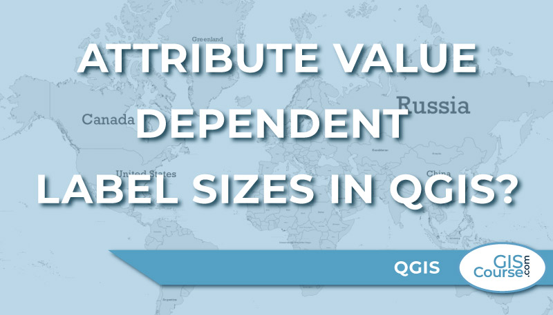
In this post, we’ll look at how to make the label sizes dependent on a field in the attribute table of the layer. […]
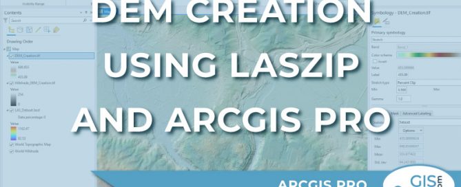
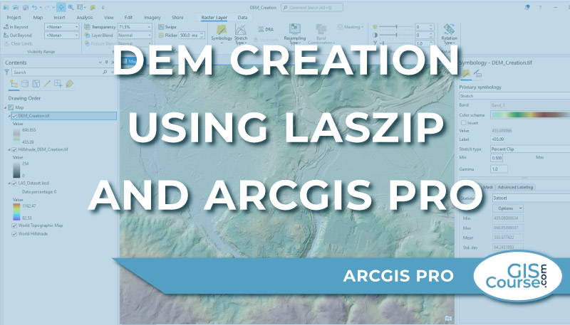
In ArcGIS Pro you cannot open or add LAZ (.laz) files directly and display the point cloud data on the map. The LAZ (.laz) files need to be decompressed and converted to LAS (.las) files. One easy way to do that is to use the LASzip, a free open source product of rapidlasso GmbH. The [...]
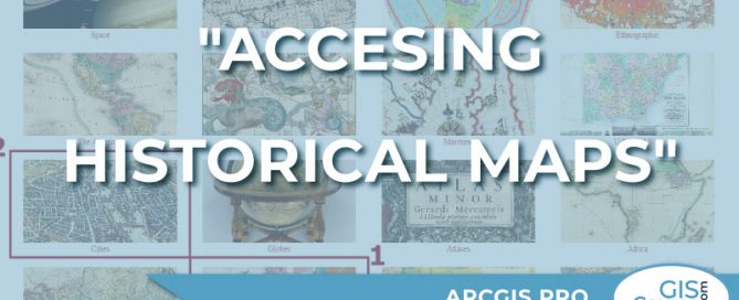
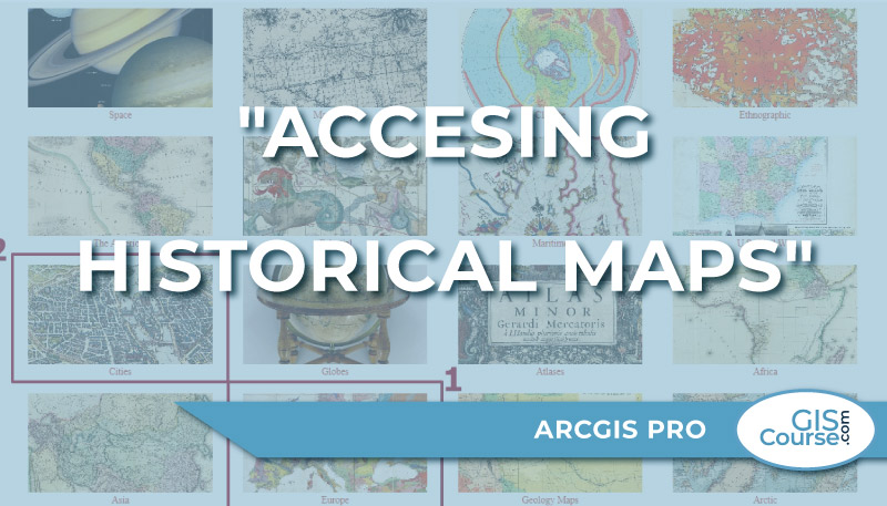
The David Rumsey Map Collection is incredibly complex, with a wide range of historical maps. […]
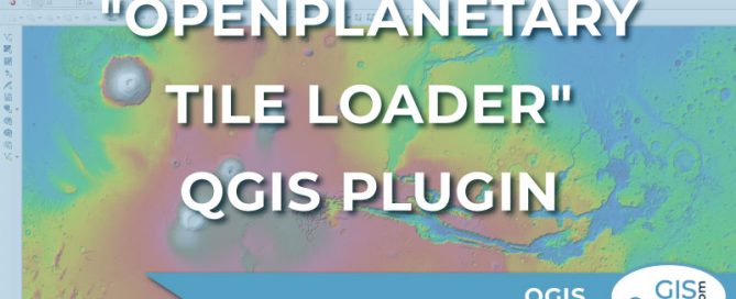
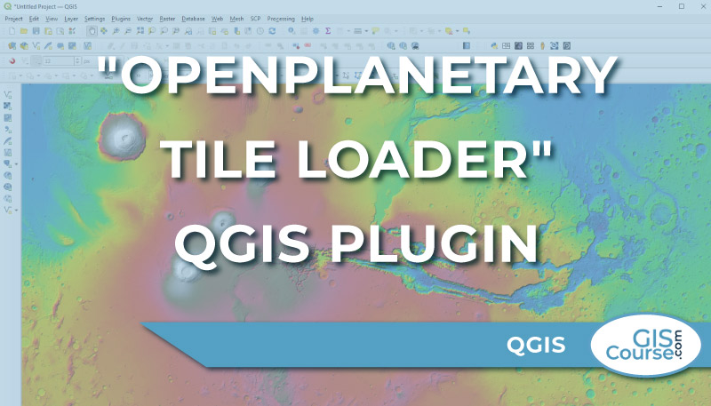
The analysis of planetary and stellar cartography is the next geospatial frontier, and Roberto Jimenez’s QGIS plugin “OpenPlanetary Tile Loader” is a significant step in this direction. […]
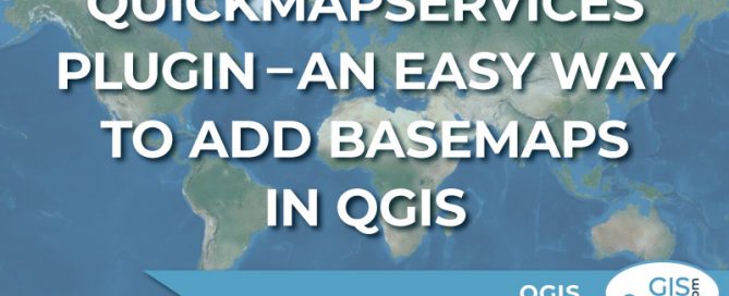
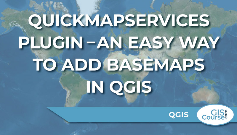
One of the most interesting QGIS Plugin is the QuickMapServices. […]

