The view matters. Visibility analysis are important from the planning point of view. Visual analysis tools allow you to generate visibility studies over an area, creating an output raster that display what entities can be seen over a certain landscape, from the point of view of one or more observatory. They are used mainly for the planning purpose, from new infrastructure implementation to the development of new touristic activities/routes.
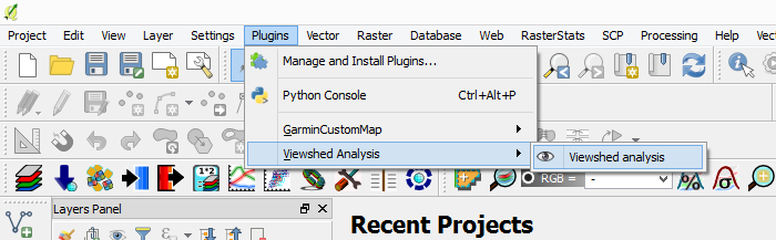
In QGIS you can carry out a visibility analysis via Viewshed Analysis plugin. After you install it you can access this tool by going to Plugins > Viewshed Analysis > Advanced viewshed analysis.
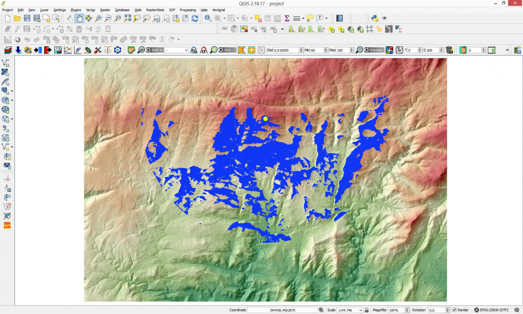
In this example we will analyze the visibility of a new wind turbine that will be installed. We would like to see from where it will be visible. Keep in mind that the height of the wind turbine is 15 m (in this case observer height) and the average height of humans is 1.6 m (target height in this case).

The result show the visibility of the turbine in a 10 km area. All people which are found in the blue areas in the map can observe the wind turbine.
Quality training taught by professionals
RECOMMENDED COURSE


The explanation is good but not that great, the each and every option in the tool should also be explained. Please give a detailed description of the different options in the advanced viewshed analysis window as well.