What is Google Earth Engine and how you can use it?

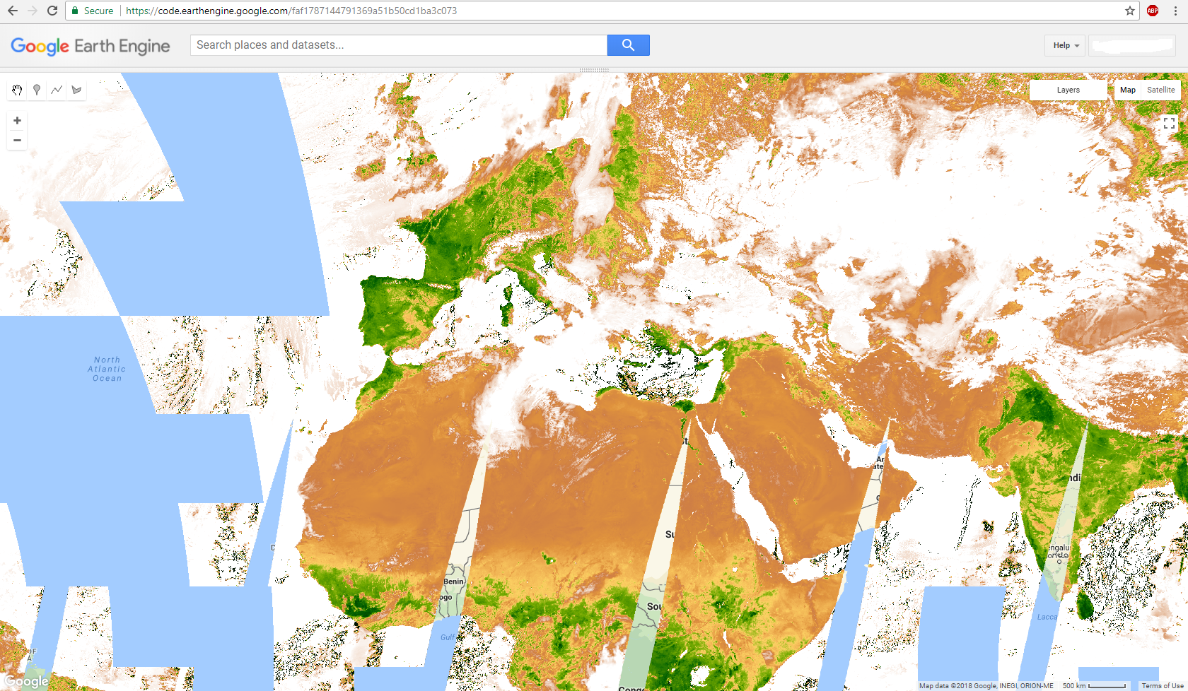
One of the latest application launched by Google is Google Earth Engine, an advanced cloud-based geospatial processing platform, designed mainly for planetary-scale environmental data analysis. It combines a multi-petabyte catalog of satellite imagery and geospatial datasets, which allow users to visualize, manipulate, edit and create spatial data in an easy and fast way. It incorporates [...]

By |2018-01-30T16:16:23+00:00January 30th, 2018|BLOG|5 Comments

Easy way to download Sentinel-2 images using QGIS SentinelHub Plugin

QGIS SentinelHub plugin from Sinergise is a fantastic tool which allows us to connect to Sentinel data server, visualize, analyze and even download satellite images, all of these using only our Desktop QGIS graphic interface. In addition, it offers interesting capabilities, such as downloading images from a specific range of time, with a specific percentage [...]

By |2018-01-26T13:08:01+00:00January 26th, 2018|BLOG|3 Comments

Simple methodology for water data extraction using QGIS and Sentinel 2 images

Sentinel-2 satellite data proved to be a reliable source of information regarding the monitoring of Earth features and phenomena’s. With a 10 m geometric resolution is the best optical satellite data available free of charge. The temporal resolution is also performing well, the satellites in the Sentinel-2 constellation provide a revisit time of 5 days. [...]

By |2018-01-23T08:40:37+00:00January 22nd, 2018|BLOG|1 Comment

Frequent error while importing HEC-RAS data into ArcGIS (using GeoRAS)

HEC-GeoRAS is a tool, that allows processing geospatial data in ArcGIS using a graphical user interface (GUI). The interface capabilities include operations like preparation, import and export data from HEC-RAS into ArcGIS, as well as processing of the exported HEC-RAS data. While importing HEC-RAS data to ArcGIS (using GeoRAS), the appearance of errors is a [...]

By |2018-01-16T15:09:00+00:00January 16th, 2018|BLOG|0 Comments

3D visualization of vector and raster data with ArcGIS Pro

ArcGIS Pro is a big step forward in the visualization, analytics, image processing, management and integration of spatial data. One of the greatest advantage of using ArcGIS Pro is the possibility of visualize your data in 2D and 3D separately or simultaneously. This can be made in a simple and easy way, through the function [...]

By |2018-01-12T15:58:01+00:00January 12th, 2018|BLOG|0 Comments

GIS Technical Support Analyst

Location: London The position sits within the Global GIS Centre of Excellence at Wood Mackenzie who are also responsible for the management of the companies GIS Platform, a centrally managed content library and sandbox environment. This is an exciting role where the candidate will develop their GIS skills across all sectors of the business. Main [...]

By |2018-06-20T15:03:15+00:00January 10th, 2018|EMPLEO|0 Comments

Delineate snow using Normalized Difference Snow Index, Sentinel 2 and QGIS

The Sentinel-2 mission is a land monitoring constellation of two satellites that provide high resolution optical imagery and provide continuity for the current SPOT and Landsat missions. Sentinel-2 satellite data is provided in multiple levels and stages of processing, from raw data to already TOA, geometric and radiometric calibration (Level-0, Level-1A, Level-1B and Level-1C). SENTINEL-2 [...]

By |2018-01-15T10:45:05+00:00January 8th, 2018|BLOG|3 Comments

New 3D capabilities with QGIS 3.0 (QGIS 2.99 development release)

There is a lot of enthusiasm and excitement about the new QGIS 3.0 release. The project is under way and the GIS community is waiting for its release. The upgrade from version 2 to version 3 is anticipated to bring countless new features and capabilities. It is expected to improve the current QGIS functionality and [...]

By |2018-01-09T08:23:53+00:00January 5th, 2018|BLOG|0 Comments

Geographical Information Systems (GIS) Technician

Kier Strategic Highways are looking to recruit a Geographical Information Systems Technician to join the Highways Design Services business. Location: Exeter, United Kingdom. Description Job Purpose: - To contact statutory undertakers and service companies for data relating to Kier Highways Contracts, digitise data onto ArcGIS and load data into the Corporate Kier GIS systems. - [...]

By |2018-05-11T06:54:56+00:00December 20th, 2017|EMPLEO|0 Comments

Gis Technician

Randstad Engineering Greensburg, PA, USA Salary: not available Minimum experience Type of job offer Description A diversified energy company is currently seeking a GIS Technician in the Greensburg, PA area. This is a 2-year CONTRACT assignment. No per diem available. Responsibilities for the GIS Technician. Assist with preparing and maintaining specialized electrical schematic drawings such [...]

By |2017-12-14T15:31:02+00:00December 14th, 2017|EMPLEO|0 Comments

Title

Go to Top