About Beatriz Ramos López

Beatriz holds a Bachelor Degree in Biology from University of Sevilla, a Master in Geographic Information Systems and another one in Geographic Information Technologies, both of them obtained at the University of Alcala. She has experience in the execution of Web GIS related projects, in the usage of open source software products and in the development of cartographic viewers.
7 02, 2018

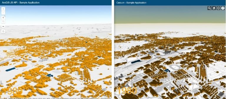
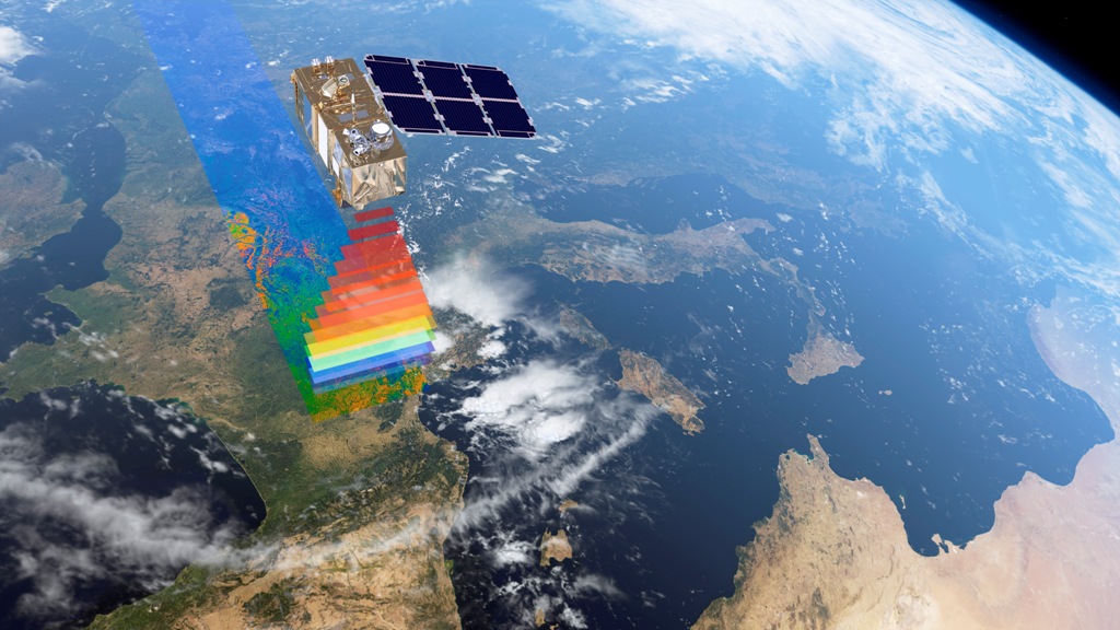
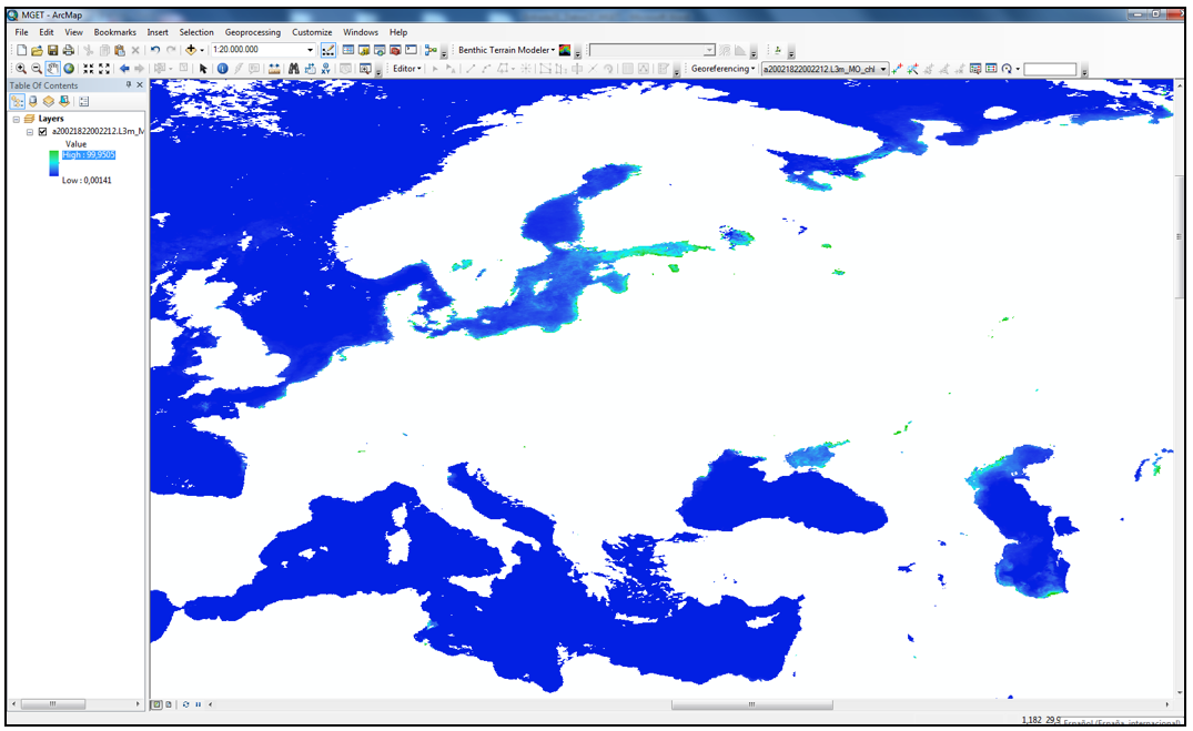
Differences in the developing of 3D cartographic viewers with Cesium and ArcGIS API for JavaScript

By |2018-02-07T13:57:55+00:00February 7th, 2018|BLOG|0 Comments

In this exercise we will try to compare two of the best 3D Web Mapping APIs that currently exist on the market. We will focus on the main differences when it comes to data modeling, processing, symbolization and visualization. On the one hand, The JavaScript API is performing better when it comes of visualization and [...]

30 01, 2018

What is Google Earth Engine and how you can use it?

By |2018-01-30T16:16:23+00:00January 30th, 2018|BLOG|5 Comments

One of the latest application launched by Google is Google Earth Engine, an advanced cloud-based geospatial processing platform, designed mainly for planetary-scale environmental data analysis. It combines a multi-petabyte catalog of satellite imagery and geospatial datasets, which allow users to visualize, manipulate, edit and create spatial data in an easy and fast way. It incorporates [...]

25 01, 2016

Data for Remote Sensing and GIS

By |2017-11-06T08:56:44+00:00January 25th, 2016|BLOG|0 Comments

One main feature for a person who is starting to study Remote Sensing and GIS sciences, is to know how to download the most useful data for his corresponding study area. Getting to know the scales and resolutions that better fixes to that area, downloading the necessary features… and so on, we will cover them [...]

17 12, 2015

Downloading chlorophyll data using MGET

By |2017-10-31T16:29:43+00:00December 17th, 2015|BLOG|0 Comments

MGET is a set of tools that provides us the capability to download chlorophyll data. This kind of data is really important for modeling and visualizing raster layers according to the presence of chlorophyll on the map. To start with, we are going to search for NASA GSFC Ocean Color. This website hosts a great deal [...]

Title

Go to Top