GIS property technician

Location: Bath - United Kingdom GIS property technician YOUR RESPONSIBILITIES: Processing and manipulating data as required to service the open water new connections process for loading into market and GIS systems Undertaking, monitoring, reporting and coordinating the daily processing of property and meter data Maintaining relevant data within customer billing, meter reading and GIS to required [...]


By |2019-06-26T14:35:50+00:00June 26th, 2019|EMPLEO|0 Comments

Modelling and Forecasting Team Member – United Kingdom

Location: Worthing, South East England, England GIS Analyst, Modelling and Forecasting projects. YOUR RESPONSIBILITIES: From modelling flood risk along our rivers to developing new flood forecasting approaches, you’ll solve complex problems, overcome challenges and develop your technical skills within our world class flood risk service. You will join our technical induction programme to learn how [...]

By |2019-06-24T14:05:24+00:00June 24th, 2019|EMPLEO|0 Comments

Editing DEM pixels values in QGIS using Serval Plugin

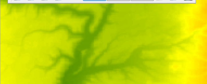
Maybe sometime you will need to edit some raster cells and change their values. Using the Serval QGIS Plugin you can do this. You can install this plugin by going to Plugins > Manage and Install Plugins and typing Serval in the search box. After the installation is done you can find the newly installed [...]

By |2018-10-29T14:23:11+00:00October 29th, 2018|BLOG|4 Comments

GIS Analyst Job in Lingen or Osnabrück – Germany

Location: Lingen and Osnabrück - Germany GIS Analyst YOUR RESPONSIBILITIES: Definition and execution of client specific data integration processes considering spatial and non-spatial datasets Creation of geospatial analyses and data migration procedures Process automation using standard software tools Project related documentation Quality assurance and control Support project teams in terms of spatial and data related matters [...]

By |2018-06-20T15:10:42+00:00June 20th, 2018|EMPLEO|0 Comments

Simple route analysis with pgRouting and QGIS

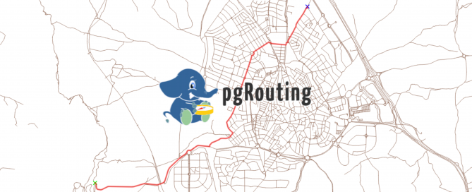
pgRouting is an extension of PostGIS (geospatial database), which in turn, is an extension of PostgreSQL database system. It adds routing capabilities and network analysis functionalities to the PostGIS geospatial database. You can perform different network analysis, shortest paths, driving distances, service areas on a topological corrected network. To be able to perform route analysis [...]

By |2018-06-20T13:28:30+00:00June 20th, 2018|BLOG|2 Comments

Editing vector layers in QGIS

For this exercise please use QGIS version 2.18. Various vector layers and tables (OGR, SpatiaLite, PostGIS, MSSQL Spatial or Oracle Spatial) can be edited in QGIS.  Before you start a editing session in QGIS, make sure you set the right snapping options (Snapping Tolerance and Search Radius). In QGIS you can find these options in [...]

By |2018-06-19T10:21:20+00:00June 19th, 2018|BLOG|1 Comment

Free land cover data from Corine Land Cover programme

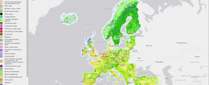
The CORINE Land Cover (CLC)  data consists of an inventory of land cover in 44 classes. Its minimum mapping unit is 25 hectares (in the case of polygon features) and 100 m for lineal features. Datasets are available for the years 1990, 2000, 2006 and 2012, covering the European continent (except Belarus, Ukraine and Russia) [...]

By |2018-05-02T08:50:39+00:00April 26th, 2018|BLOG|0 Comments

Incorporate vector data into a Digital Elevation Model using QGIS 3.0

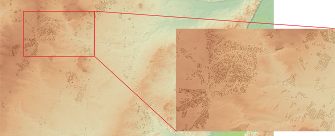
In this exercise we will try to incorporate the height of the build-up areas (average height of 15 m) above the surface of a digital terrain model. In order to do that we will have to follow a few simple steps. Step 1: Load your necessary data into QGIS map canvas Step 2: We will have to [...]

By |2018-04-25T10:26:18+00:00April 25th, 2018|BLOG|0 Comments

How to determine a contributing area/catchment above a predefined location using ArcGIS

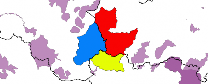
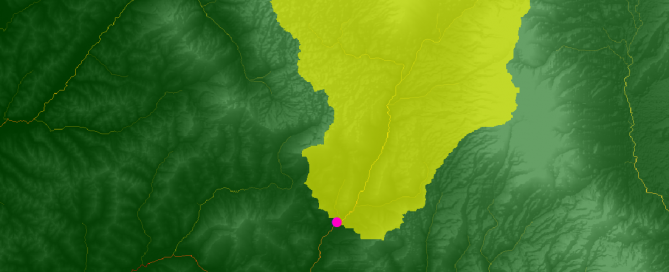
In this exercise we will see how to delineate the boundary of a catchment/contributing area using a Digital Elevation Model and a given point (a specific point for which we want to find the contributing/catchment area). ArcGIS can obtain the total area of flowing into this specific point, also called pour point. In order to [...]

By |2018-04-16T09:16:00+00:00April 16th, 2018|BLOG|0 Comments

Title

Go to Top