About Verónica Bonis Martín

With a Bachelor´s Degree in Environmental Degree Sciences from León University and a Master in Geographic Information Technologies from Madrid Complutense University, Veronica experience extends over consulting and training expertize in the use of ArcGIS, gvGIS or QGIS regarding engineering, environmental consulting, geomorketing and spatial planning projects.
21 08, 2015

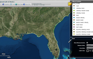
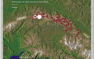
US Coastal and Marine Geology Maps

By |2017-10-31T14:04:58+00:00August 21st, 2015|BLOG|0 Comments

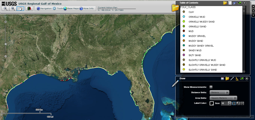
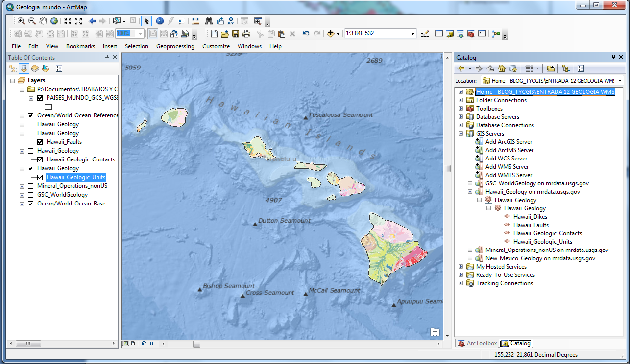
The United States Geological Survey, USGS, is an organization of the United States government that provides reliable information regarding the status, threats and condition of the Earth, being the largest mapping agency in the country. It shares information from all around the world. […]

24 04, 2015

Interesting Environmental Maps Remembering Earth Day

By |2017-10-30T08:53:53+00:00April 24th, 2015|BLOG|0 Comments

As you already know, last Wednesday April 22 was the international Earth Day. This is a special day dedicated to remember all the things that our mother Earth is giving us every day, and how important it is to preserve this patrimony. […]

17 04, 2015

Load Geology WMS servers from around the world using ArcGIS

By |2017-10-27T14:26:25+00:00April 17th, 2015|BLOG|0 Comments

From the US Geological Survey USGS website we can have access to geological information from almost anywhere around the world, using WMS servers that can be included in any GIS program. (* We need to take into account that these online services can be temporarily unavailable or stop working at some point). […]

9 04, 2015

Celebrating Hubble´s 25th Anniversary

By |2017-10-30T12:33:05+00:00April 9th, 2015|BLOG|0 Comments

In 1990, the Hubble Space Telescope (HST) was launched into Earth orbit, since then remaining in operation. With the celebration of its 25th anniversary, we will remember in this post the most amazing things that Hubble has discovered, and how important are these for science. […]

6 04, 2015

Satellite Imaging & Technology: Daily Earth Data

By |2017-10-27T08:08:32+00:00April 6th, 2015|BLOG|0 Comments

Imagine satellite´s images from the Earth being updated on a daily basis, offering high resolution pictures. Nowadays this is happening thanks to start ups focused on launching mini satellites to the Earth´s orbit, costing far less and providing images at a faster rate than traditional satellites. […]

Title

Go to Top