23.02.2018 it is a big day for all QGIS users. After a long wait QGIS 3.0 will be finally released. According to QGIS Road Map the new version will be launched tomorrow.
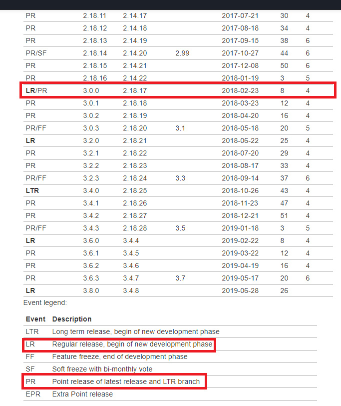
Its really a big thing if we take into consideration that there has not been any major releases since 2013 when version 2.o came out. This new version will bring major improvements in matters of speed, efficiency and performance. Until now worldwide users of QGIS had the possibility to explore the future QGIS 3.0 capabilities and functionalities through a pre-release development version QGIS 2.99. Check more information about the pre-release development version here.
Among the new version capacities we can mention:
- Improvements that are planned to be introduced include:
- Improved editing workflows
- Many algorithms have been re-written in order to run much faster and be more stable (new algorithms for clipping, geometry and feature boundary box)
- Switch to QT5/PyQT5 and Python 3
- New symbols, dynamic symbols and predefined symbol groups
- Improve relations with PostgreSQL
- New 3D map viewer
- New CAD Drawing Tools
- Updated Processing ToolBox
- CRS show Geographic Bounds (of the area your study is located)
- Multiple Map Views available through New Map View tool
NOTE: Rumors say that some plugins would no longer be compatible with new API and plugin authors would be required to manually review their plugins to identify and update where the code is no longer compatible with the new API. I think we will find out this tomorrow.
In any case, this is a big step for all the open source community and a confirmation of its continuous development from the last decade.
Check our QGIS Courses and join the open source community.
Quality training taught by professionals
RECOMMENDED COURSE


Leave A Comment