A relational database management system (RDBMS or just RDB) is a type of database whose data is stored in tables.
Key concepts include the following:
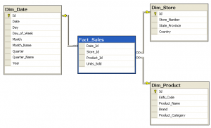
- The data is organized into one or more tables.
- The tables contain numerous columns and rows.
- All rows in a table have the same columns.
- Rows are also called records or tuples.
- Columns are also called attributes.
- Each column has a type, such as integer, decimal number, character, date, etc.
- Relationships can be used to associate rows from one table with rows from another table. This is based on a common column in each table (often called Primary Key).
The data in a RDBMS can be accessed using an SQL query. SQL stands for Structured Query Language. Using an SQL query, you can create, delete or modify tables, as well as select, insert data from existing tables.

RDBMS allows also the storage of the physical location and shape of geometric objects inside tables and become a Spatial Database. The Spatial Data Option is designed to make the storage, retrieval, and manipulation of spatial data easier and more natural to users, benefiting of all the power of the RDBMS.
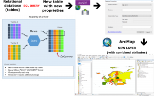
With the help of some server-software sub-systems, these tabular data can be connected to the User Graphic Interface of a GIS Software like ArcMap, ArcGIS Pro or QGIS.
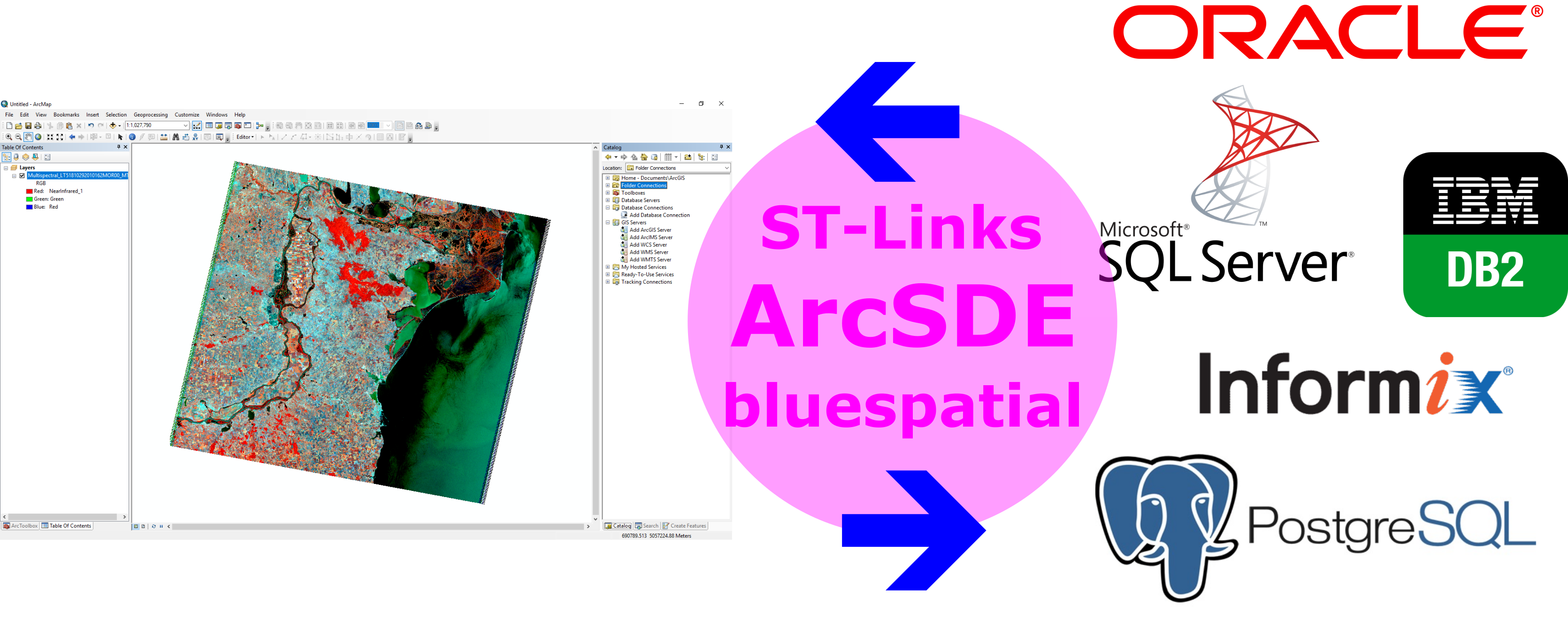
ArcSDE – is ESRI’s technology for accessing and managing geospatial data within relational databases. ArcSDE technology serves as the gateway between GIS clients and the RDBMS. It enables you to easily store, access, and manage spatial data within an RDBMS package such as:
- DB2
- Informix
- Oracle
- PostgreSQL
- SQL Server and SQL Server Express
The tabular data is virtually converted to a geodatabase, making it easy moving objects required for GIS data in and out of tables.
ArcSDE technology supports:
– multiuser editing environments
– scalability, reliability, security, backup, and integrity (all the benefits of relational databases)
– different type of clients to database connection, with different user levels
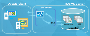
Image source: ESRI Australia
ArcSDE alternative tools:
There are some alternative tools for connecting ArcMap with DBMS such as ST-Links PgMap and Blue Spatial Server.
You can choose also the open source possibility represented by PostGIS relational database along with QGIS software to manage your spatial data.
Quality training taught by professionals
RECOMMENDED TRAINING COURSE


Leave A Comment