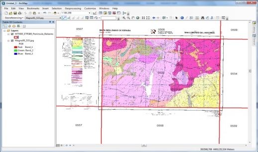
Geographic Information Systems have turned out to be a potential tool for the support in decision making inside environmental projects. The course starts from the very beginning; helping consolidate basic knowledge to work with geolocation information, such as a correct definition of the coordinates system and the editing and generation of new information.
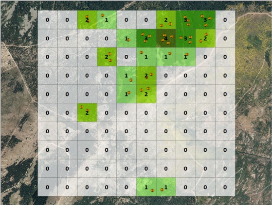
Once the bases are settled, we will be able to carry out spatial analysis using vector data. We will learn how to create sampling grids and add field data that can be applied to environmental surveillance of wind farms.
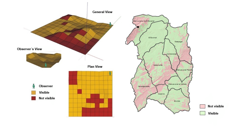
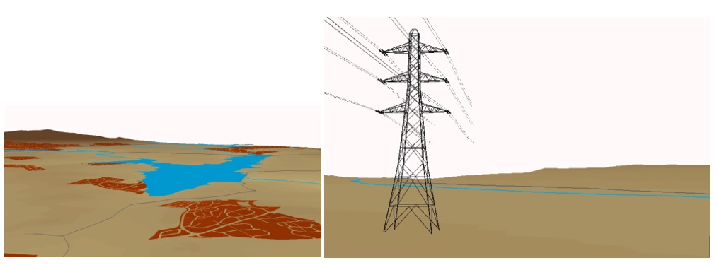
We will also work with raster data to create visibility studies of surveillance towers from terrain models of high precision.
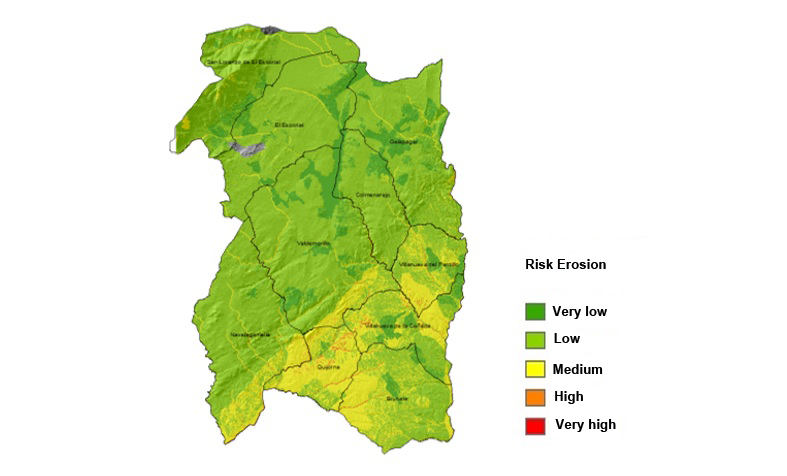
We will carry out erosion risk analysis taking into account different variables such as slope, vegetation or presence of watercourses.
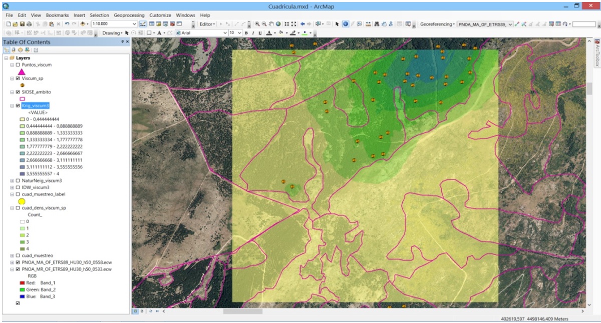
We will be able to obtain fauna or vegetation density from field or available bibliographic data.
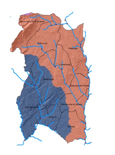
Inside the hydrology tools unit, we will learn to analyse the drainage basin in an area where we have detected anomalous contamination.
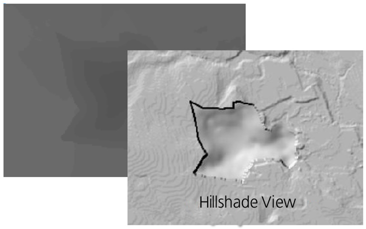
You will be able to practice introducing a new quarry on the terrain from a Digital Terrain Model modification, as well as calculate the volume of moved soil.
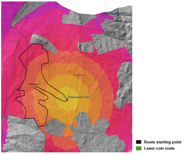
By raster multi-criteria analysis, we will be able to calculate the least impact lineal route for an electric network, or any other type of lineal drawing, taking into account the variables that we consider significant for the study.
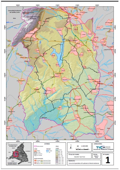
We consider essential a good representation of the information that has been created. We will work in the creation of high quality cartography adding all the necessary elements that should be included on any plan.
Lastly, you will learn to represent you information on 3D scenes and carry out virtual fights, what will provide an excellent representation of the final analysis results.
Quality training taught by professionals
RECOMMENDED TRAINING COURSE


Leave A Comment