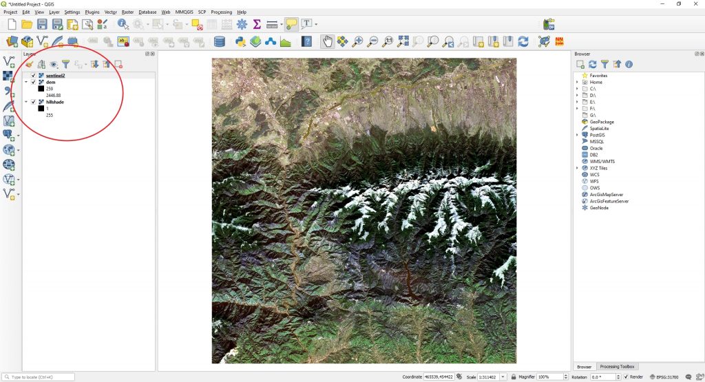
Now, you can create a 3D map easily in QGIS. For this exercise we will use a Digital Elevation Model, a hillshade and a Sentinel-2 satellite image. All of them clipped by the same limit.
Next we will make sure that we have the Qgis2threejs plugin installed.
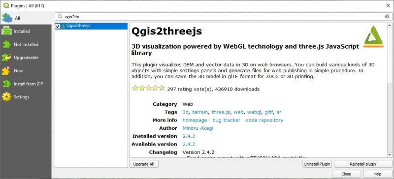
This plugin visualizes DEM and vector data in 3D on web browsers. You can build various kinds of 3D objects with simple settings panels and generate files for web publishing in simple procedure. In addition, you can save the 3D model in glTF format for 3DCG or 3D printing. Check more info about it at https://plugins.qgis.org/plugins/Qgis2threejs/.
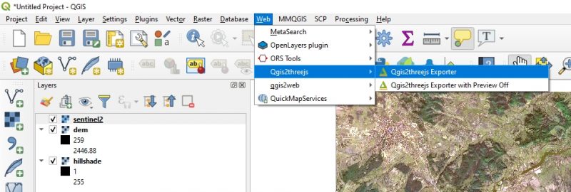
After you install the plugin you can go and open it. Go to Web > Qgis2threejs > Qgis2threejs Exporter.
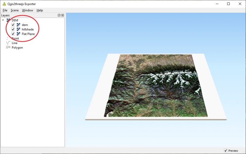
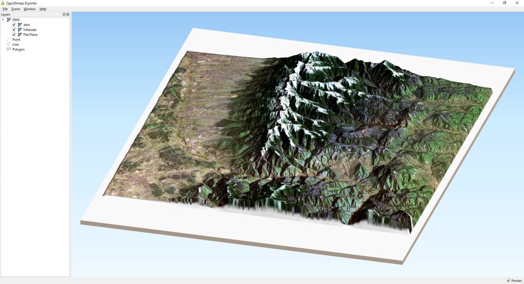
A new window will open. Make sure you check all the check-boxes which correspond to the scene layers. The scene will appear in the right section of the window.
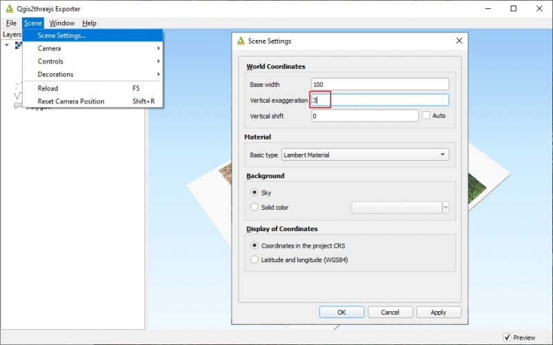
To customize our scene we have to go to the scene proprieties. We will set a Vertical Exaggeration of 3.
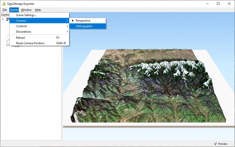
Set the camera to Orthographic.
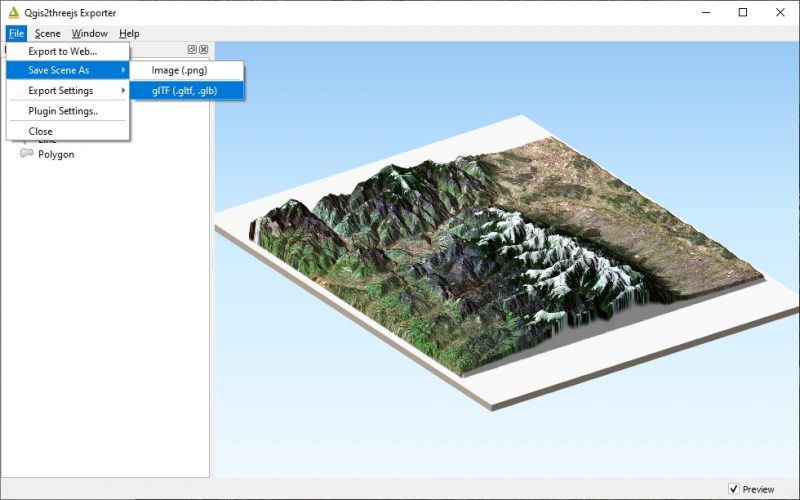
You can also export the scene to web or save the scene as a giff.


It seems to be a very useful SW. I recently used it & had what seems to be a very simple problem, but can’t figure it out. I input some Drôme mapping data from WEBODM and QGIS made a nice 3 D map but it seems to be raise about 200’ above the base. Looks like a wedding cake sitting on a rectangular base. If I add google maps, GM is aligned lat/long but positioned on the base with the wedding cake sitting above. It seems that the base might be sea level, with the map place at around 80 meters altitude which would be correct. But Google maps is at sea level. Any thoughts please.