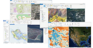
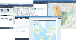
ESRI launched the new ArcGIS 10.3 version with advanced features, available from any type of device. Let´s review some of its latest applications!

ArcGIS PRO
This application is created to be used by GIS professionals in GIS Desktop. Thanks to its new interface and graphic motor, it allows managing, representing (2D and 3D), analysing, editing, and sharing spatial information.
It allows generating webmaps directly in ArcGIS Online as well as in Portal for ArcGIS.
ArcGIS pro licenses are managed by the user, the administrator of an Online ArcGIS organization or Portal for ArcGIS.
Working with data:
- It allows the representation and analysis of multidimensional and scientific data: netCDF, GRIB, HDF.
- Conversion from GeoPDF to GeoTIFF.
- The LAS dataset supports ZLAS and LAS version 1.4.
- It also supports OGC GeoPackage 1.0 format.
- ArcGIS for Desktop and ArcGIS for Server workgroup include SQL Server 2012 Express.
- ArcSDE Application Server will no longer be available therefore the connexion with the Geodatabase 10.3 or later versions must be done from the client, compatible with the database used.
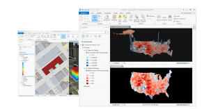
Raster
- 13 new raster functions.
- Block adjustment of satellite images for a more precise geolocation.
- Images segmentation and clasification based in this segmentation.
- Possibility of integrating Phyton scripts as raster functions.
- Processing templates tab to select between the processing templates associated with the Mosaic dataset.
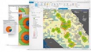
Geoprocessing
- A new Viewshed tool that calculates the visibility of several observers using geodesic methods.
- New tool to manage SDE GDB, replacing the commands line.
- New Network Analyst analysis options (Find Routes and Solve Location-Allocation).
- The Empirical Bayesian Kriging analysis has improved by global and polar interpolations.
- Emerging Hot Spot Analysis tools to analyse hot spot trends and patterns both in space and time.
3D
- Published 3D maps in ArcGIS Online can be shared through ArcGIS Pro, known as Web Scene.
- It now has the capacity to export / import 3D elements generated with CGA rules to GIS features ready to analize in ArcScene or ArcGIS Pro.
ArcGis Server
- It supports the OGC WFS2 2.0 standard.
- By using ArcGIS Server Manager you can monitor the server statistics.
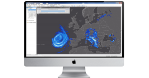
ArcGis Online
- Thanks to the 3D viewer included in arcgis.com, you can create 3D scenarios with published scenes or using your own layers saved in ArcGIS Online or ArcGIS Server.
- In addition to the user name and password, you can determine a verification code.
- It is possible to publish services from GeoJSON files, ArcGIS Pro maps and CSV tables, even without spatial reference.
- Under Find Routes, the option Truck takes into account routes restrictions and speed limits.
- The streaming services created by ArcGIS for Server 10.3 are supported being able to display great data volumes in real time that will vary in unknown time intervals.
- Features to connect origins and destinies that allow measuring the distance between two points. Now you can define water dividing lines, create hydrographic basins etc. with the Hydrology Analysis.
- By extracting data, it is now possible to include attached files.
- There are many tools to choose options between different types of trips, calculating the driving duration.
- The option direction allows you to find the closest element to a point and it will indicate you how to arrive.
Web appBuilder
- It now has a new screen that simplifies the creation of apps in HTML/Javascript. It is available from a pc, tablet or smartphone. It offers the option to create your own widgets and customize your application. It also includes widgets that allow editing, configuring geoprocesses, searches, graphs and enquiries. You can also create your own templates.
Quality training taught by professionals
RECOMMENDED COURSE


Leave A Comment