About Ricardo Martínez Prentice

Analista programador GIS, toca varias ramas de la programación en desarrollo Desktop y en desarrollo web con visores GIS, además de la gestión de información geográfica en bases de datos espaciales. Especializado en la enseñanza tanto individual como grupal, lo que le ha llevado a conocer las necesidades fundamentales para permitir un avance progresivo en los cursos.
13 01, 2016

A workflow for “Collector”

By |2017-11-02T10:32:52+00:00January 13th, 2016|BLOG|0 Comments

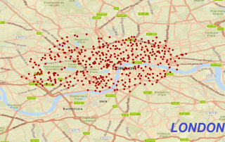
Would you like to build an useful application in your mobile device using ArcGIS? Don’t worry, it won’t take long to discover the best features in one of the most  powerful GIS platform. In this post, we are going to use an example with the Bike Stations of London, preparing a layer from a KML [...]

8 01, 2016

This year’s ‘ENSO’

By |2017-11-02T09:21:10+00:00January 8th, 2016|BLOG|0 Comments

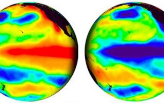
Why is the climate changing so fast? Is it true that the human race has been changing the climate through these years?  Of course, YES. And concretely, this year, weather has been gone mad. Due to climate change (in our previous post, we have commented studies that prove this event) but furthermore, due to ‘El [...]

18 12, 2015

Table Join between vector layers for Geology

By |2017-11-06T09:19:34+00:00December 18th, 2015|BLOG|0 Comments

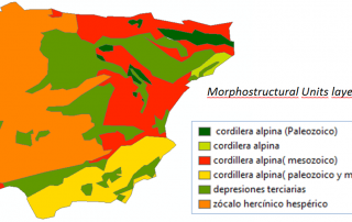
As we know so far, geographic data is stored in Attribute Tables. We can manage the data by creating, deleting, updating, and all the columns of each layer. They are characteristic operations in databases. ArcGIS is a Desktop application to work with cartography, but, overall, it is a database. […]

Title

Go to Top