Easy way to download Sentinel-2 images using QGIS SentinelHub Plugin
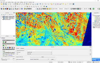
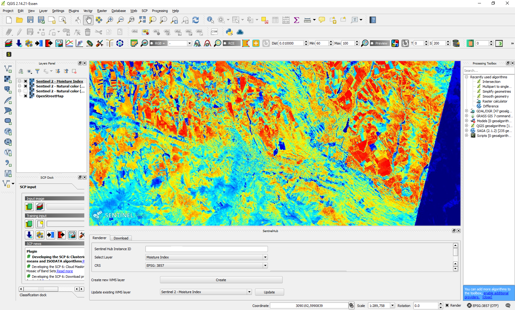
QGIS SentinelHub plugin from Sinergise is a fantastic tool which allows us to connect to Sentinel data server, visualize, analyze and even download satellite images, all of these using only our Desktop QGIS graphic interface. In addition, it offers interesting capabilities, such as downloading images from a specific range of time, with a specific percentage [...]