STUDENTS AND COMPANIES
What students think about our courses?
Our students comments and opinions
It’s been a great experience because I could learn lots of things.
Cinthia Janet Pasache RumicheAgricultural Engineer
The course is very well organized (designed by chapters where the content is explained in detail and includes exercises that help consolidate the related content). You have to work hard and commit, but you learn a lot. You have to work in a big variety of exercise which is the best way to learn how to manage this software. From my point of view, exercises are well focused as in a big majority, they are real life cases.
Maria Sánchez
It has been a positive experience, providing good exercises and manual.
David Rodriguez GonzálezGeologist
After taking 2 courses with TYC GIS, they have helped me consolidate and improve my GIS knowledge. You offer a general vision and a high level that enables you to go into this field
Mª Dolores Pérez de Santa MariaTopographer
A professional and very aducational course. Highly recommended.
Beatriz Carbonell BarriosGeologist
Is an excellent course to keep on progressing in thw knowledge and practice of raster and vector data using ArcGIS 10.
Alberto Arnal OlivaresForest Engineer
This course has allowed me discover new GIS applications in my professional area that are going to facilitate calculations and be of great support when studying alternatives for project locations and the assessment os posible affections produced by future activities.
Adela SobalerEnviromental and Mining Engineer
A very good course. It hace a nice learning method with practical exercises.
Juan Pablo EspinozaSurveying Engineer
This has been my first online training experience and, in spite of my initial objections, it has complied in excess my expectations. As you are forced to solve the exercises by yourself. I have been realised that you learn much more, and at your pace. 100% recommended. It is special if you are interested in mining or geology, with perfect examples to be used in real practice.
Paulo Romero MartínezGeologist
The experience has been pretty positive. It’s true that this is a high level course and it may advance too fast fot those without previuos experience, but I am very happy with what I’ve learned and I am sure that it will be of great professional value.
Alfonso Coya Testón
It’s been a great experience because I could learn lots of things.
Cinthia Janet Pasache RumicheAgricultural Engineer
The course is very well organized (designed by chapters where the content is explained in detail and includes exercises that help consolidate the related content). You have to work hard and commit, but you learn a lot. You have to work in a big variety of exercise which is the best way to learn how to manage this software. From my point of view, exercises are well focused as in a big majority, they are real life cases.
Maria Sánchez
It has been a positive experience, providing good exercises and manual.
David Rodriguez GonzálezGeologist
After taking 2 courses with TYC GIS, they have helped me consolidate and improve my GIS knowledge. You offer a general vision and a high level that enables you to go into this field
Mª Dolores Pérez de Santa MariaTopographer
A professional and very aducational course. Highly recommended.
Beatriz Carbonell BarriosGeologist
Is an excellent course to keep on progressing in thw knowledge and practice of raster and vector data using ArcGIS 10.
Alberto Arnal OlivaresForest Engineer
This course has allowed me discover new GIS applications in my professional area that are going to facilitate calculations and be of great support when studying alternatives for project locations and the assessment os posible affections produced by future activities.
Adela SobalerEnviromental and Mining Engineer
A very good course. It hace a nice learning method with practical exercises.
Juan Pablo EspinozaSurveying Engineer
This has been my first online training experience and, in spite of my initial objections, it has complied in excess my expectations. As you are forced to solve the exercises by yourself. I have been realised that you learn much more, and at your pace. 100% recommended. It is special if you are interested in mining or geology, with perfect examples to be used in real practice.
Paulo Romero MartínezGeologist
The experience has been pretty positive. It’s true that this is a high level course and it may advance too fast fot those without previuos experience, but I am very happy with what I’ve learned and I am sure that it will be of great professional value.
Alfonso Coya Testón

“In company” courses

On demand courses
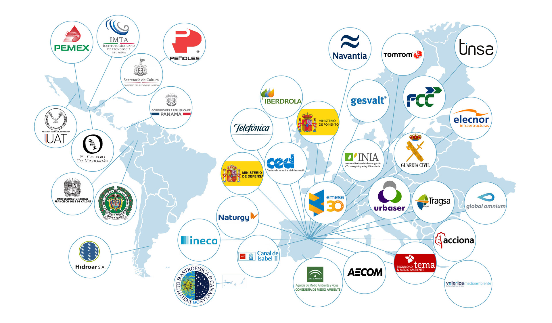
COMPANIES