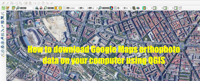
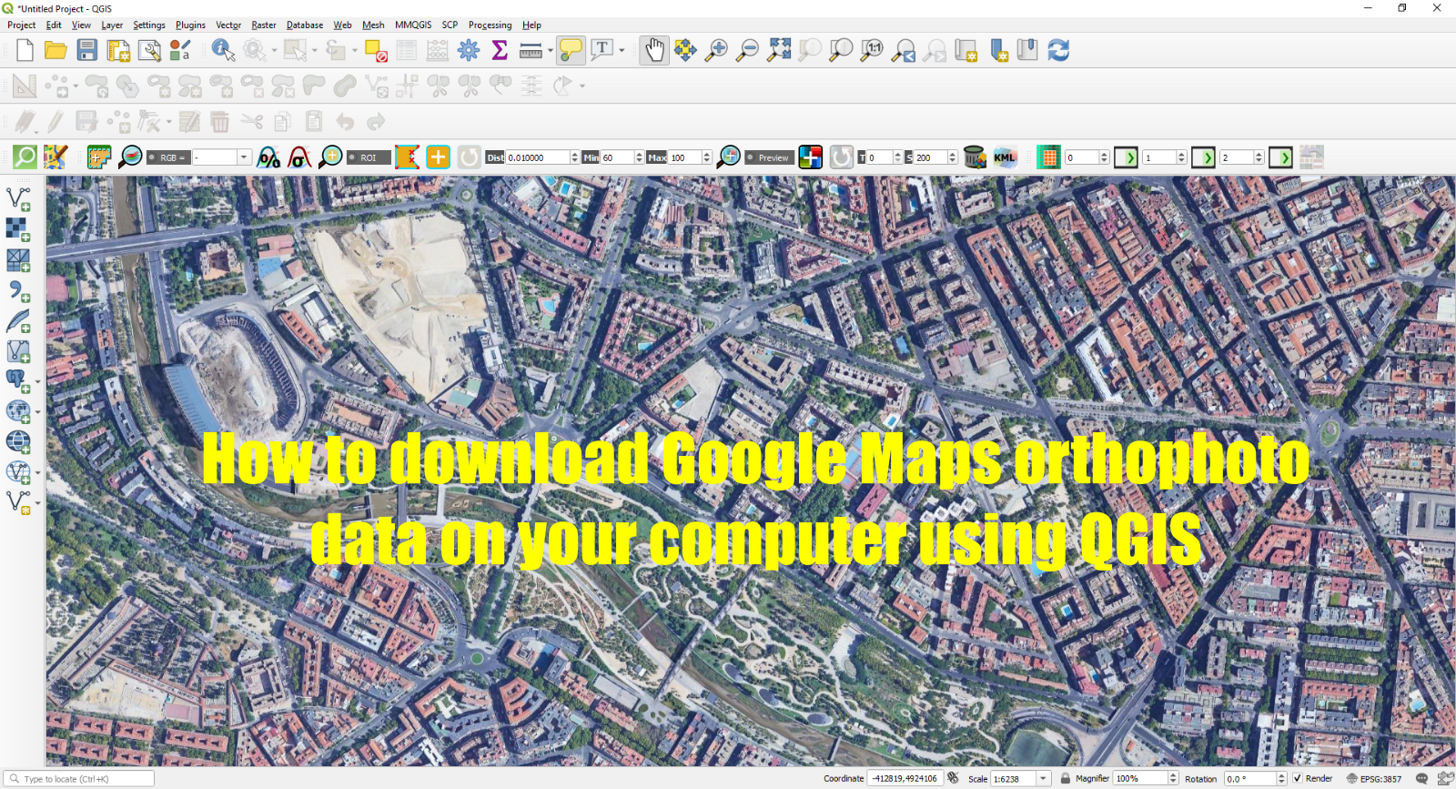
How to download Google Maps orthophoto data on your computer using QGIS

Here is an easy way to download Google Maps orthophoto data on your computer using QGIS. First of all, you need to open QGIS and install the QuickMapServices plugin. Go to Plugins > Manage and Install Plugins > In the Search option type QuickMapServices. 2. Go to Web > QuickMapService > Search QMS and type [...]

By |2021-06-17T19:19:49+00:00June 17th, 2021|BLOG|2 Comments

Easy way to export and print 3D DEMs

Nowadays, with the help of a 3D printer, it has become very easy to print 3D geographic features captured by a Digital Elevation Model. To be able to do that, a raster export to STL (standard triangle language) format is mandatory. This can be realized with the help of QGIS software and its DEMto3D plugin. [...]

By |2021-06-01T19:13:53+00:00June 1st, 2021|BLOG|0 Comments

Downloading and Preprocessing Satellite Imagery using QGIS and Semi-Automatic Classification Plugin

In this tutorial we will learn how to download, pre-process and manage satellite imagery. All this using the open source software QGIS and the Semi-Automatic Classification Plugin (SCP). […]

By |2020-05-12T10:40:05+00:00May 11th, 2020|BLOG|0 Comments

Title

Go to Top